| *** Taylors Grove Bridge Weather Data at Latitude 44°47'27.38"N - Longitude 122°34'41.22"W - Elevation: 780 Feet Above Sea Level *** | |||
|---|---|---|---|
| LAST READING AT TIME: 10:00 AM DATE: July 17 2026, time of next update: 10:05 am | |||
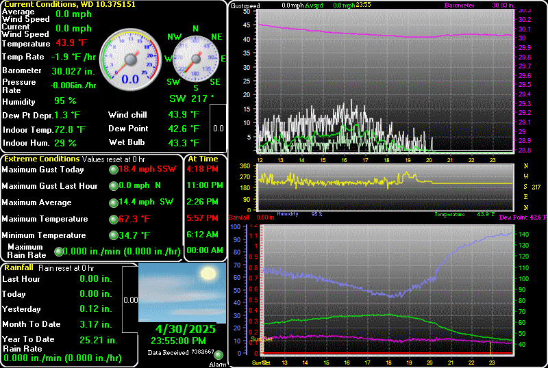
| Current Weather | Dry | Current Temperature | 63.7°F (17.6°C) (Heat Index 63.5°F ), Apparent temp 65.5°F |
| Maximum Temperature (since midnight) | 63.7°F at: 9:59 AM | Minimum Temperature (since midnight) | 44.1°F at: 6:07 AM |
| Average windspeed (ten minute) | 0.7 mph | Wind Direction (ten minute) | SW (225°) |
| Heat Index | 63.5°F | Maximum Gust (last hour) | 7 mph at: 9:26 AM |
| Maximum Gust (since midnight) | 7 mph at: 9:26 AM | Maximum 1 minute average (since midnight) | 5.1 mph at: 8:52 AM |
| Rainfall (last hour) | 0.00 in. (0.0 mm) | Rainfall (since midnight) | 0.00 in. (0.0 mm) --- |
| Rainfall This month | 0.00 in. (0.0 mm) | Rainfall To date this year | 28.25 in. (717.6 mm) |
| Maximum rain per minute (last hour) | 0.00 in/min | Maximum rain per hour (last 6 hours) | 0.00 in/hour |
| Yesterdays rainfall | 0.00 in | DewPoint | 55.6°F (Wet Bulb :59.1°F ) |
| Humidity | 75 %, Humidex 68.9°F | Barometer corrected to msl | 29.981 in. (1015.3 hPa) |
| Pressure change | -0.01 in. (last hour) | Trend (last hour) | STEADY |
| Pressure change (last 12 hours) | -0.01 in | Pressure change (last 6 hours) | -0.01 in |
| Current Indoor Temp. 70.7°F | |||
| Current Indoor Hum. 34% | |||
SALEM MCNARY FIELD, OR, United States (KSLE) 44-54N 123-00W 59M
Jul 17, 2026 - 11:56 AM EDT / 2026.07.17 1556 UTC
Wind: from the N (350 degrees) at 3 MPH (3 KT):0
Visibility: 10 mile(s):0
Sky conditions: partly cloudy
Temperature: 62.1 F (16.7 C)
Dew Point: 48.9 F (9.4 C)
Relative Humidity: 62%
Pressure (altimeter): 30.04 in. Hg (1017 hPa)
ob: KSLE 171556Z 35003KT 10SM SCT029 17/09 A3004 RMK AO2 SLP171 T01670094
cycle: 16
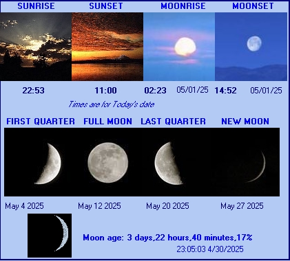
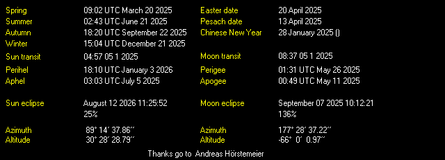
Sun and Moon Details
Upcoming Celestial Events
Attention ! The following links have been updated. should you find a broken or misdirected link, please e-mail me.
Weather Links and More!

Weather Forecasts and Radar Images
Western Oregon
North Oregon Coastal Strip including cities of Astoria, Cannon Beach, Long Beach and Tillamook ,
Central Oregon Coast including Lincoln City, Newport and Florence ,
Central Coast Range of Oregon ,
Lower Columbia including Clatskanie and St Helens ,
Central Willamette Valley including Salem and McMinnville ,
South Willamette Valley including Eugene and Corvallis ,
Western Columbia River Gorge including Hood River and Troutdale ,
North Oregon Cascades Foothills including Sandy and Sweet Home ,
North Oregon Cascades including Mt Hood ,
Cascade Foothills of Lane County ,
Cascades Range of Lane County including Oakridge ,
South Central Oregon Coast including Coos Bay ,
Curry County Coast including Brookings ,
Central Douglas County including Roseburg ,
Eastern Curry County and Josephine County ,
Eastern Douglas County Foothills ,
Jackson County and the Rogue River Valley including Medford ,
South Central Oregon Cascades including Crater Lake ,
Siskiyou Mountains and the South Oregon Cascades,
Eastern Oregon
Eastern Columbia River Gorge including The Dalles ,
North Central Oregon including Madras,
Central Oregon including Bend and Redmond ,
North and East Klamath County and Western Lake County ,
Klamath Basin including Klamath Falls ,
Lower Columbia Basin including Hermiston,
Foothills of the Blue Mountains including Pendleton,
Blue Mountains of Oregon including Meacham,
Ochoco and John Day Highlands,
Grande Ronde Valley including LaGrande,
Wallowa County including Joseph,
Harney County including Burns,
Baker County including Baker City,
Lower Treasure Valley of Oregon including Ontario,
Malheur County including Rome ,
Weather Information KPTV
Space Weather
Weather Conditions in Outer Space from Spaceweather.com
NOAA Space Weather Prediction Center
Radar Links
Forest and Wildfire Information
Oregon Fire Map & Tracker by Frontline Fire Defense
Geographic Area Coordination Centers for USA
Northwest Interagency Coordination Center
Road Cams, Travel Information, Emergency Info
Oregon Department of Transportation Road Cams (Tripcheck)
Marion County Public Works Website
FlashAlert - Closures - Emergency info for NW Oregon
Selected River Information
River Level of the Willamette at Salem
River Level of the North Santiam at Mehama
River Level of the Little North Fork of the North Santiam at Pioneer Bridge
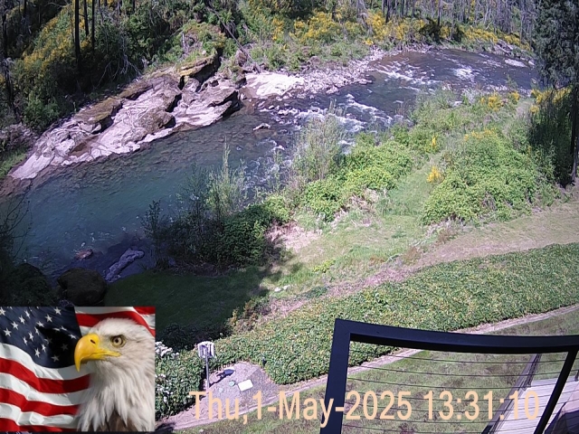
Current View of The Little North Fork of the North Santiam River
(The river may be illuminated at night by flood lights during major weather or stream flow events.)
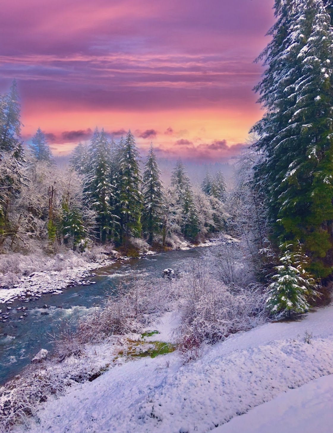
A photo taken from our deck with a little artistic touch on 3-9-2019
Volcano, Tsunami and Earthquake Information
Pacific Northwest Seismic Network
Pacific Northwest Recent Earthquake Data
United States Recent Earthquake Data
Canadian Recent Earthquake Data
Worldwide Recent Earthquake Data
United States Tsunami Warning Center
NOAA National Data Buoy Center
Incredible Drone Videos By North Fork Media - Michael Roth

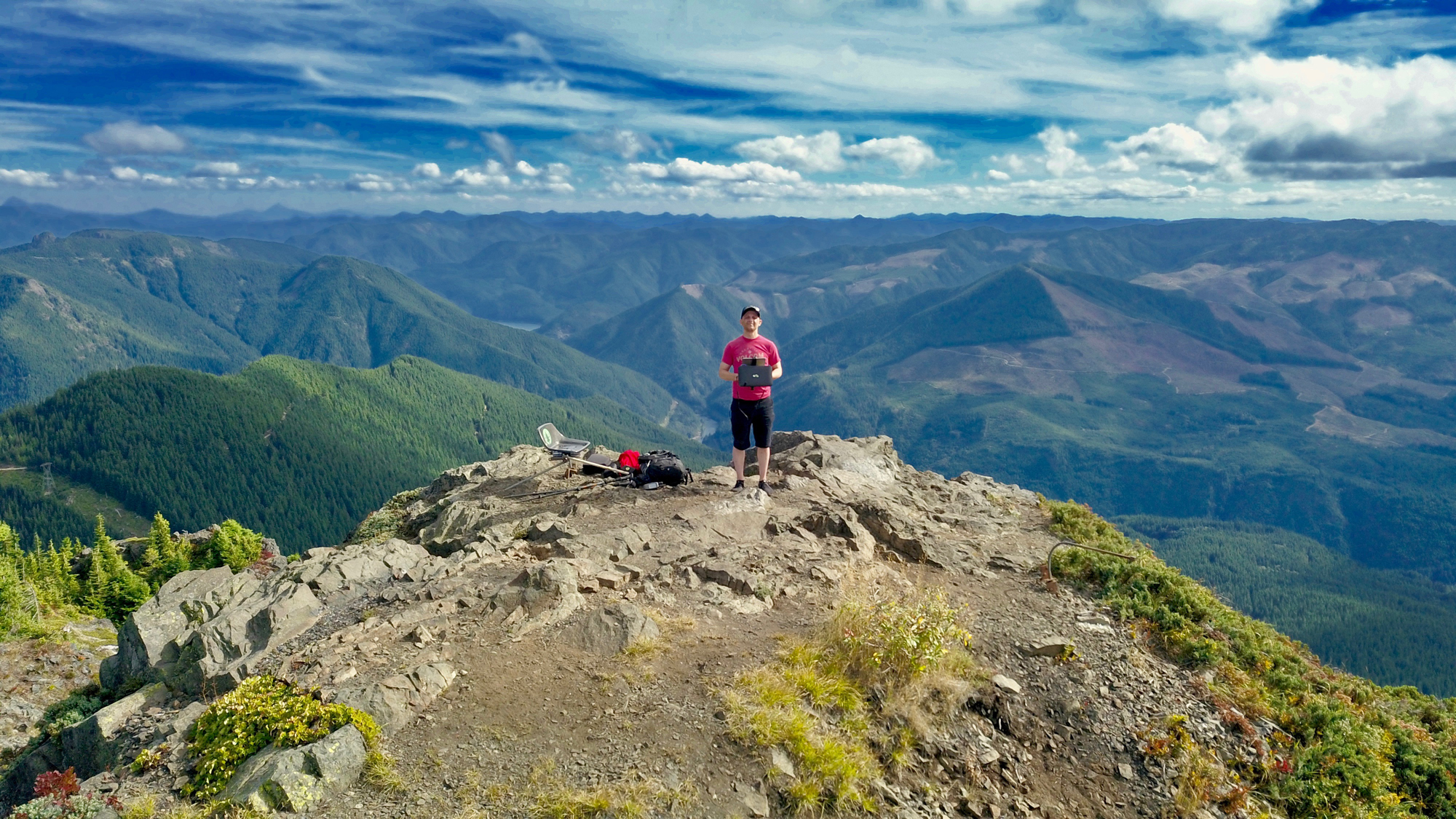
This is my son Michael in his element. His work speaks for itself - Enjoy!
Always on the Hunt
It's Been Awhile
Rememberance
Always at Peace Here
Waters Gift
1000 Miles
All Around Us is Beauty
Spirit of Inspiration
Snowy Mountain Tops and Waterfalls
Crystal Waters
Mountain Traveler
Painting Through My Eye
Evans Creek Trio
Oregon’s Sahalie and Koosah Falls
Enlightened Journey
The Beginning
Nature's Simplicity
Solitary Wanderer
Moutain Flying
When the Rain has Gone
Memories Past
Alone on a Mountain Top
The Pacific Northwest's Mt Jefferson and PCT
The Delight of Forest Waterfalls
In to the Mist
Flying High
Exploring Oregon
The Pacific Northwest's Tumalo Falls
Salt Creek Falls in Beautiful Oregon
Hidden Waterfalls
The Beauty of the Pacific Northwest in Oregon
Flight of the Starlings
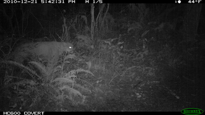
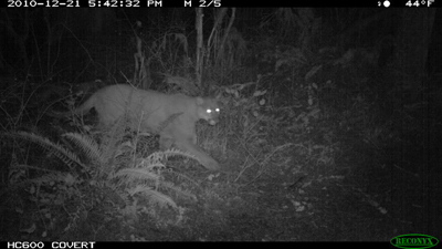
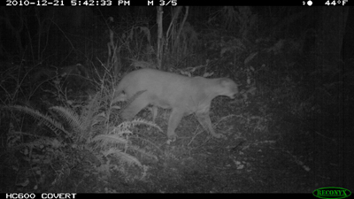
Cougar - Bobcat - Coyote - Grey Fox and Bear Sightings on our Property
December 2010 - Cougar
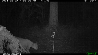
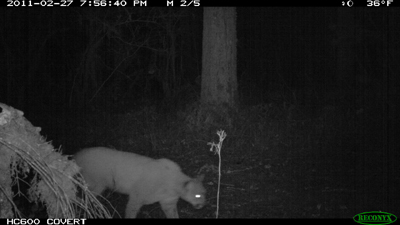
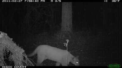
February 2011 - Cougar
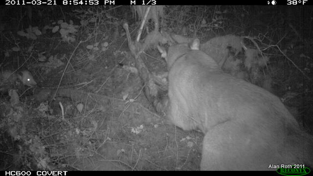
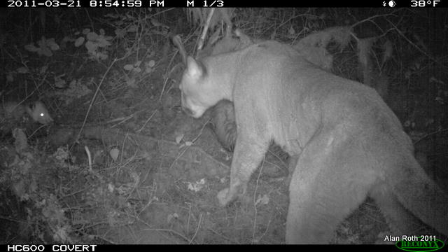
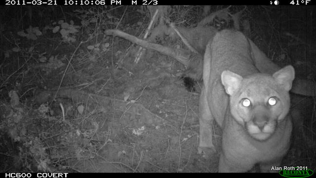
March 2011 - Cougar
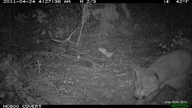
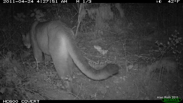
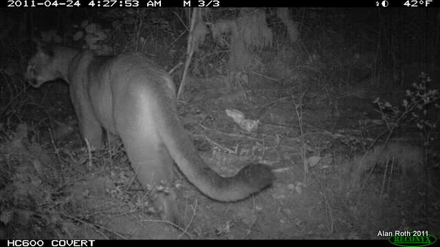
April 2011 - Cougar
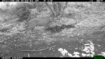
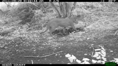
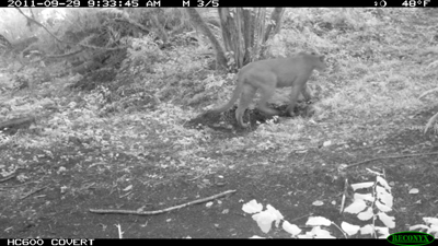
September 2011 - Cougar
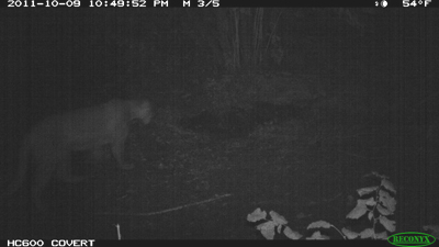
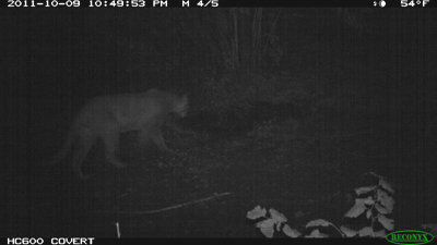
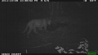
October 09, 2011 - Cougar
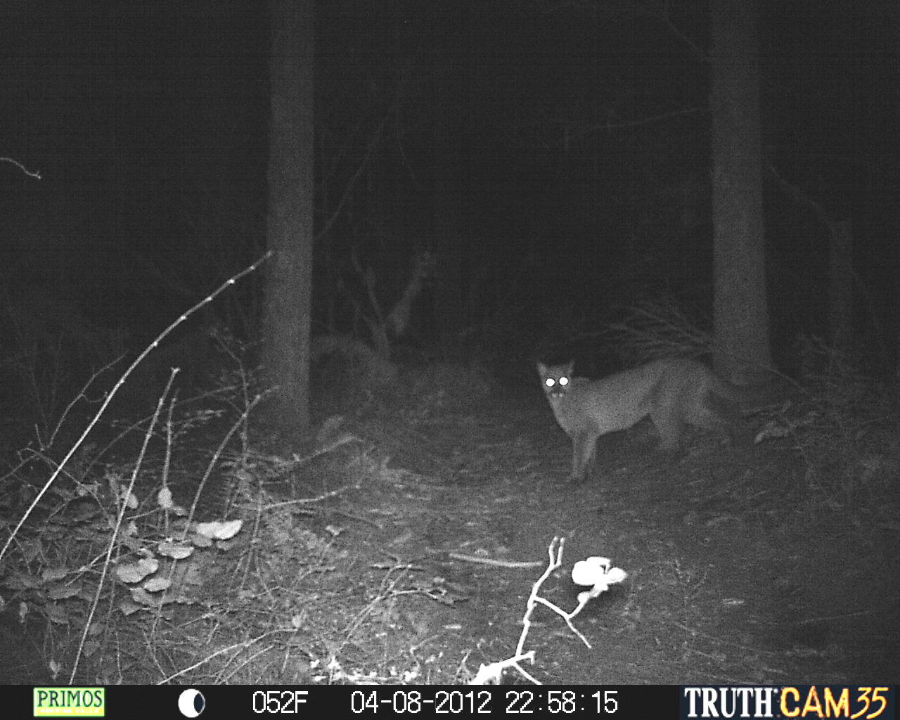
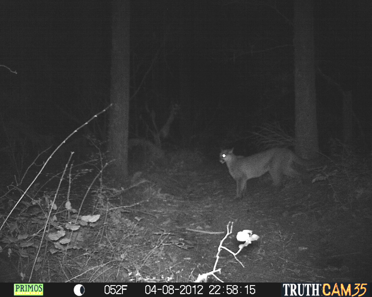
April 08, 2012 - Cougar

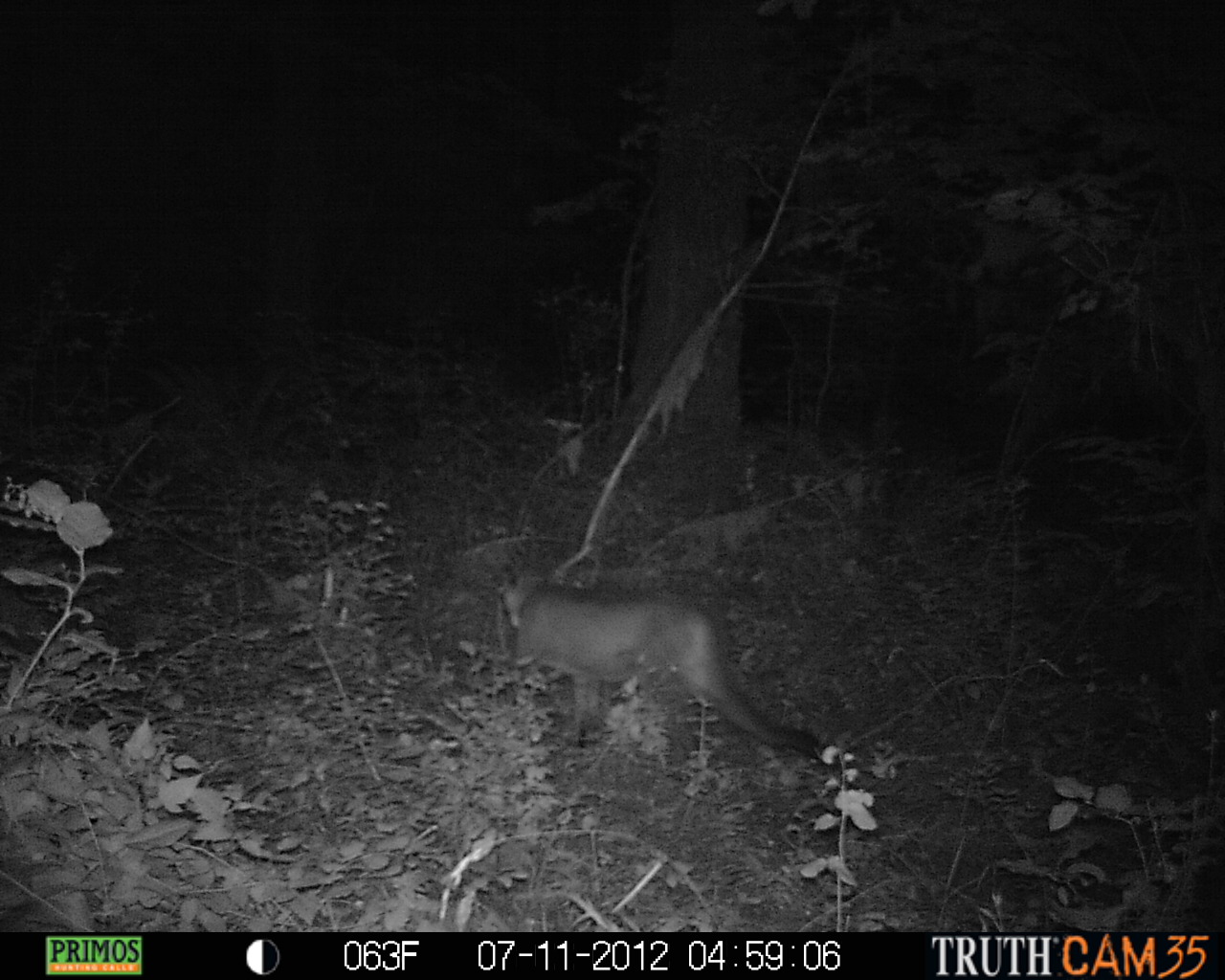
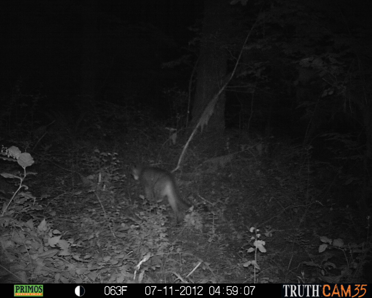
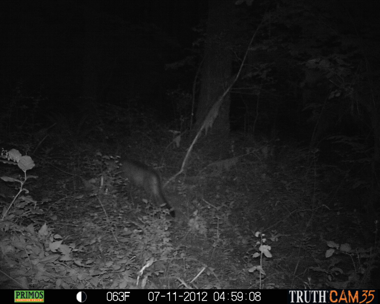
July 11, 2012 - Cougar
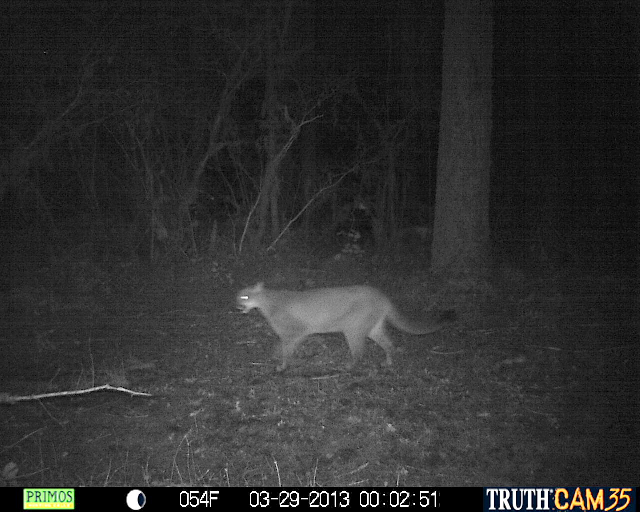
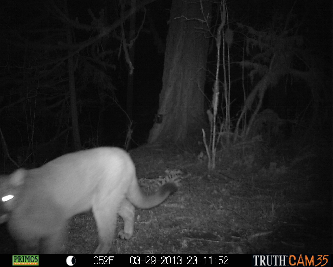
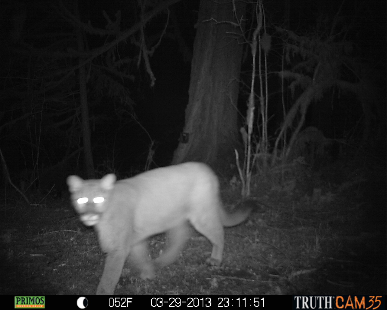
March 29, 2013 - Cougar
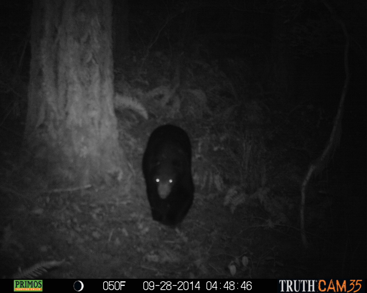
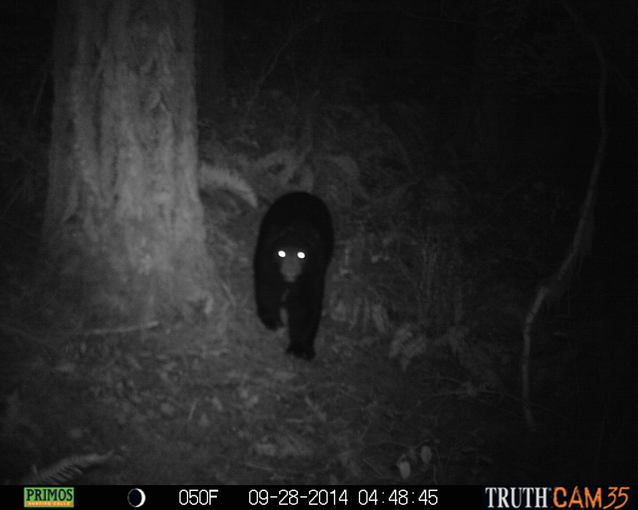
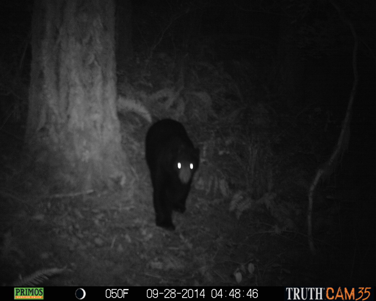
September 28, 2014 - Black Bear
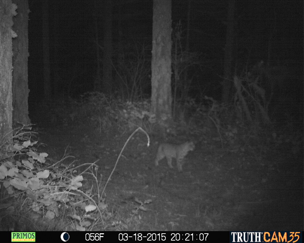
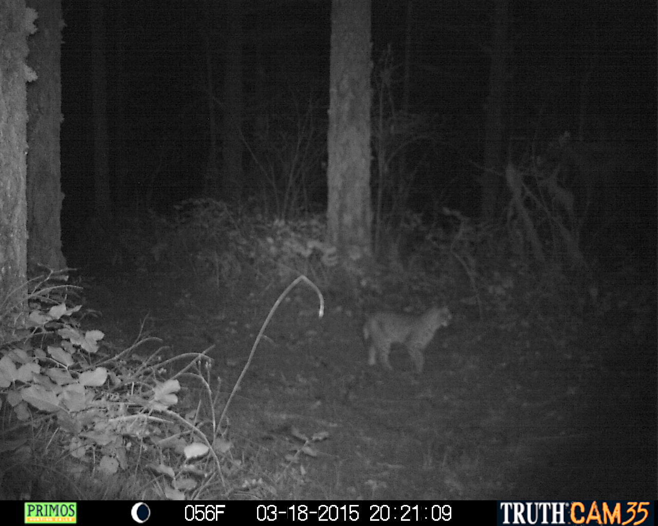
March 18, 2015 - Bobcat

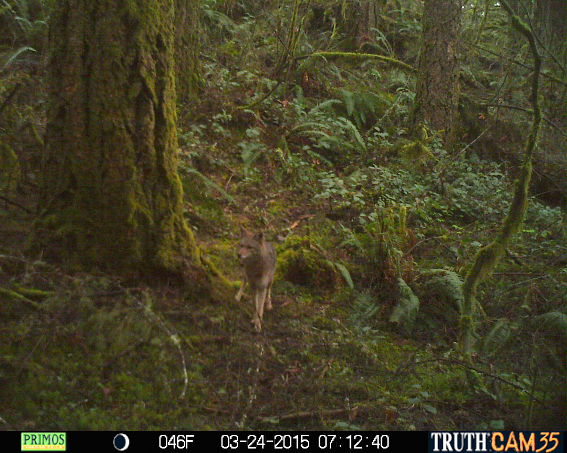
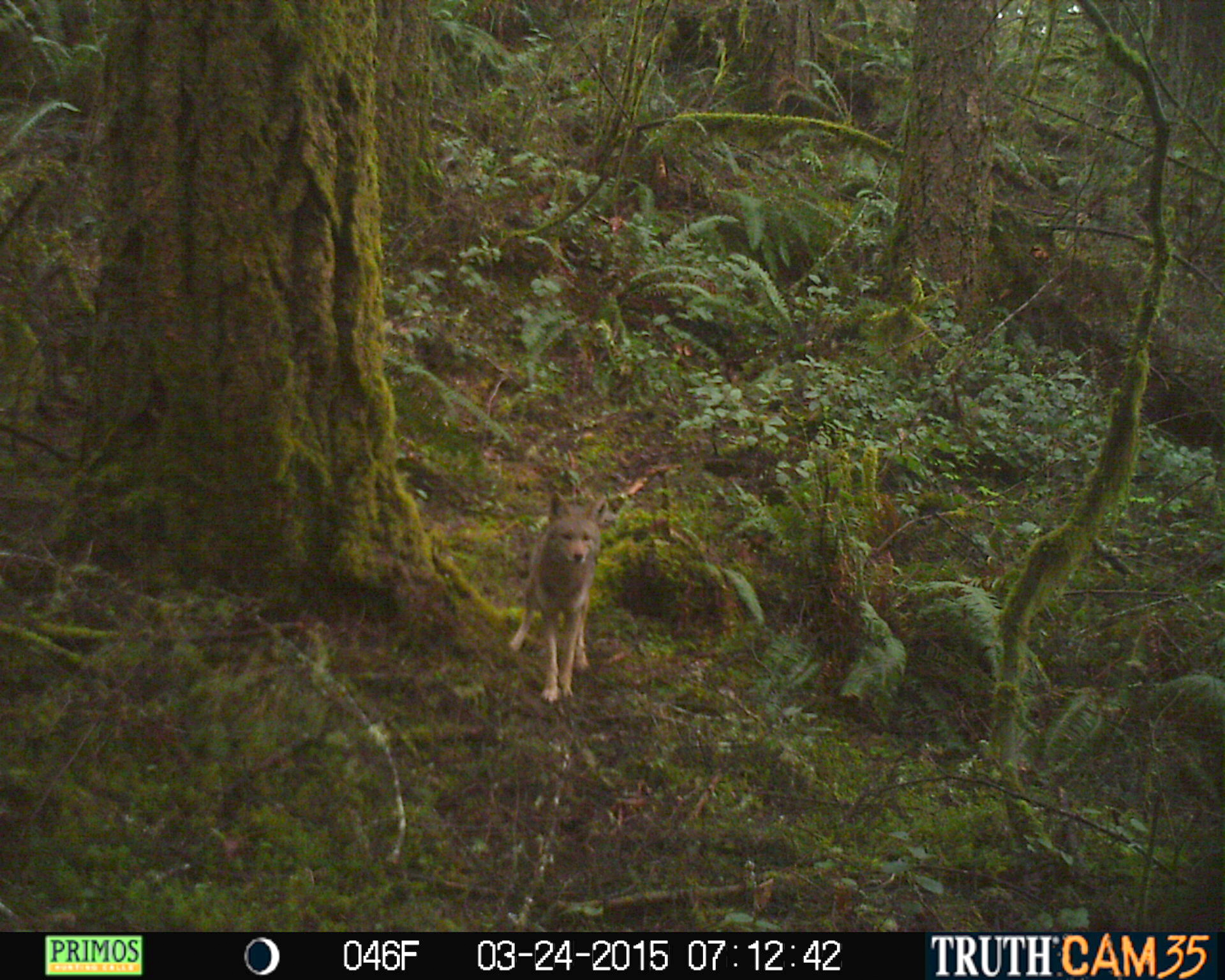
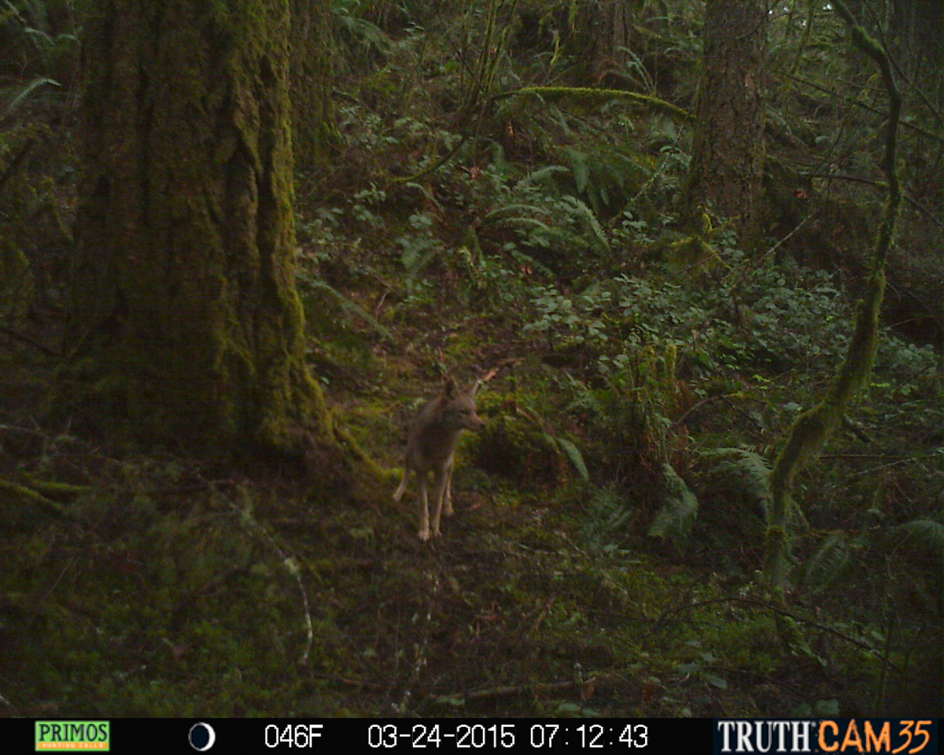
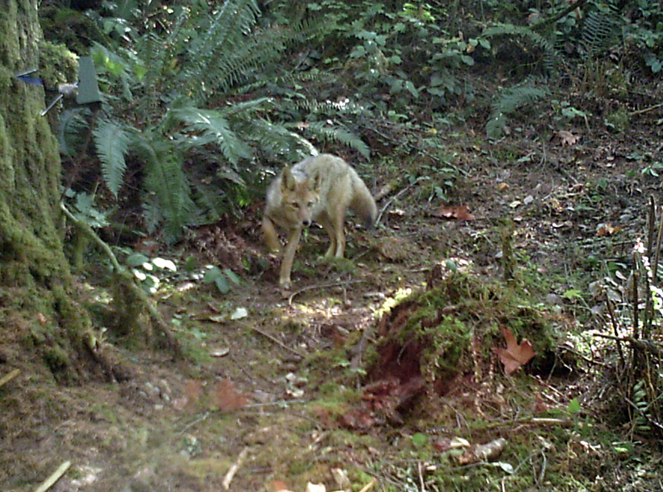
March 24, 2015 - Coyote
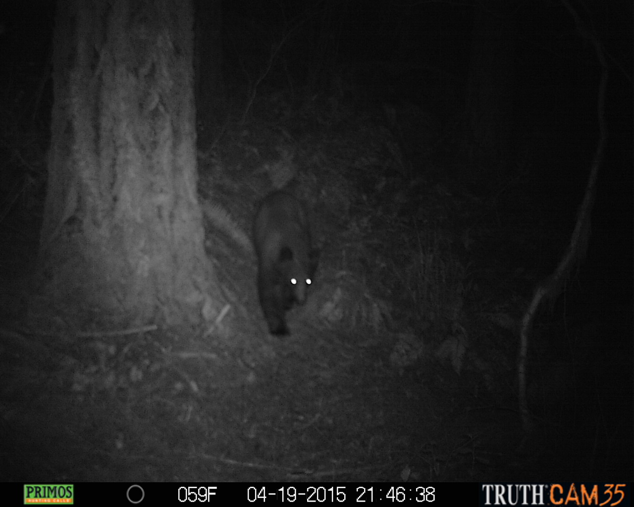
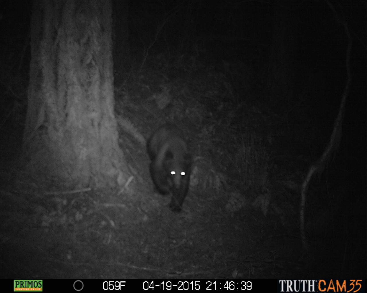
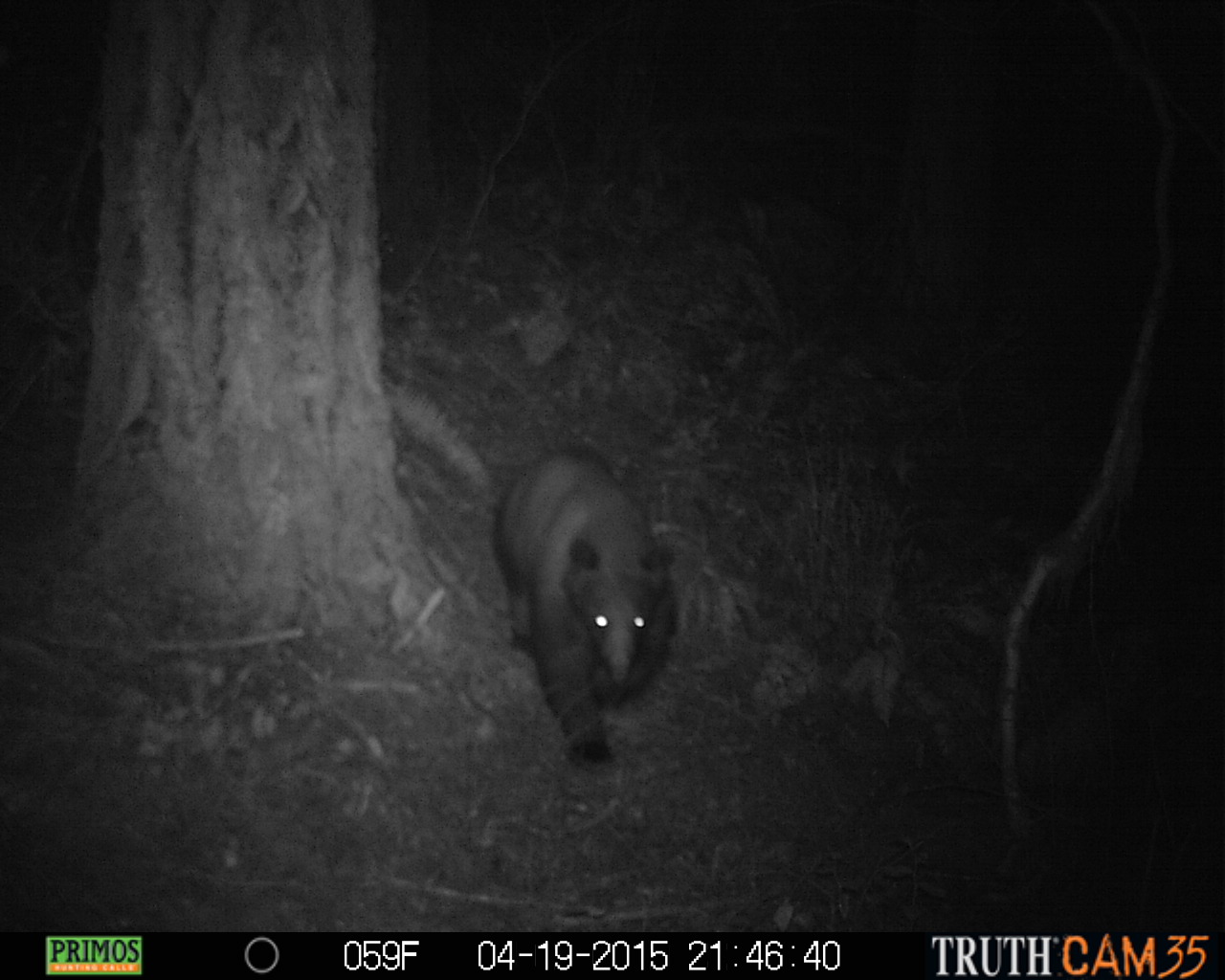
April 19, 2015 - Black Bear
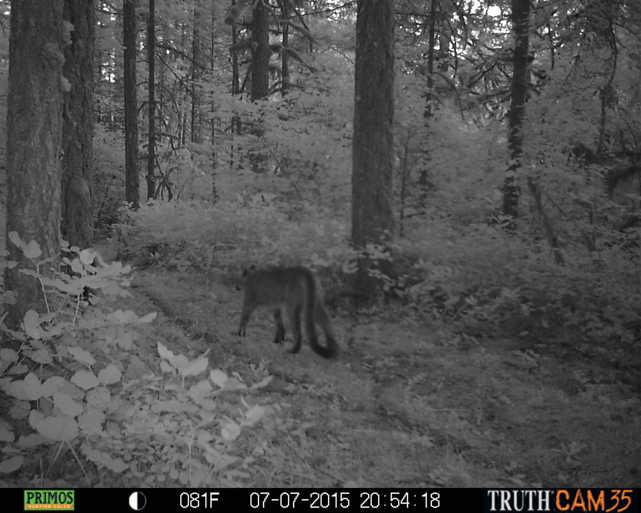
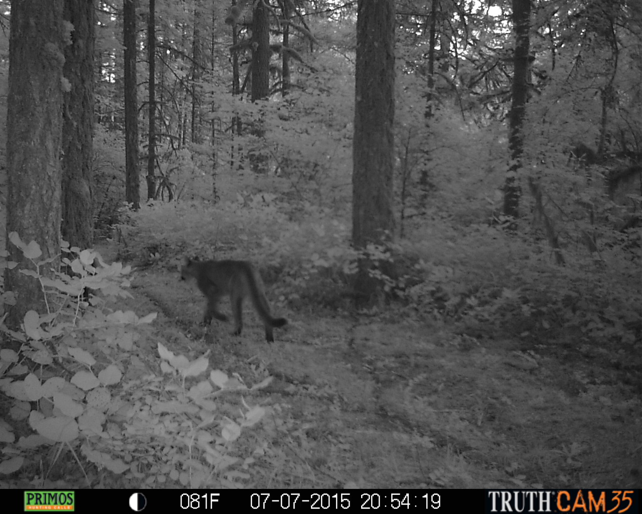
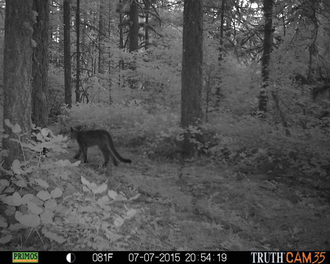
July 7, 2015 - Cougar
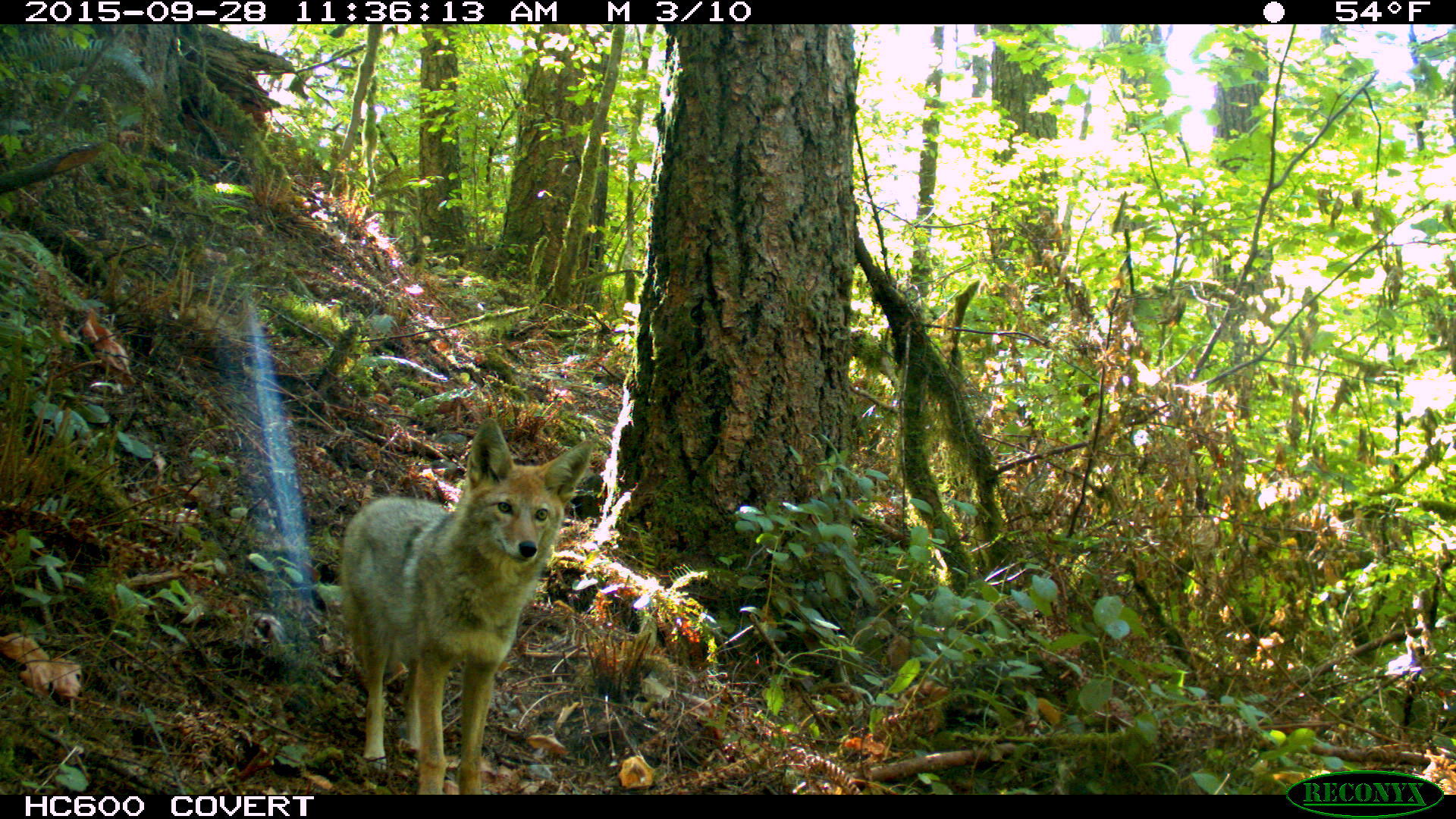
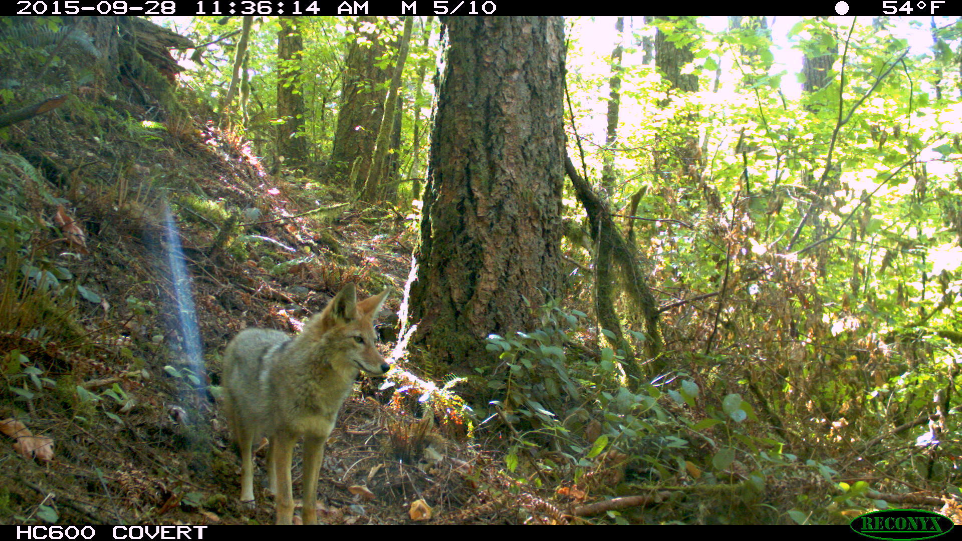
September 28, 2015 - Coyote
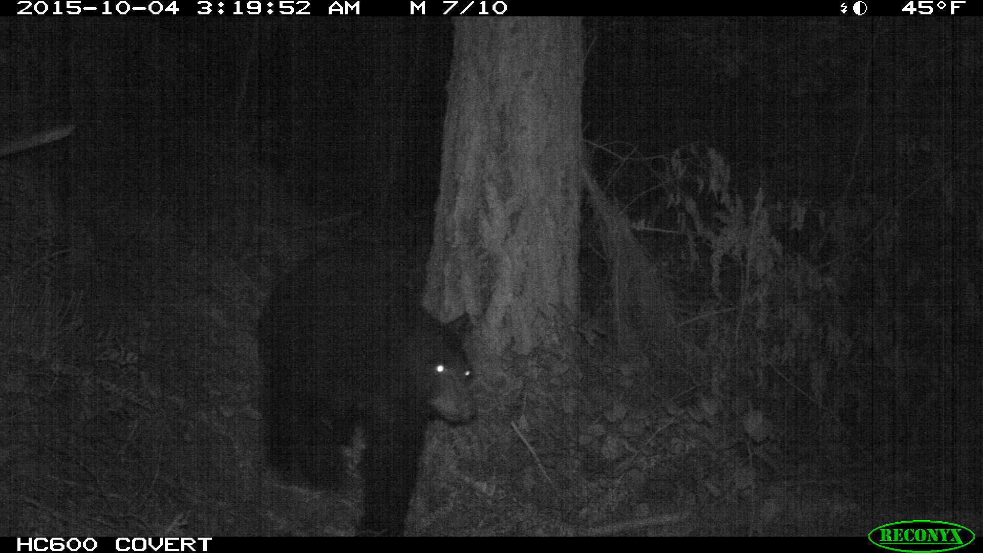
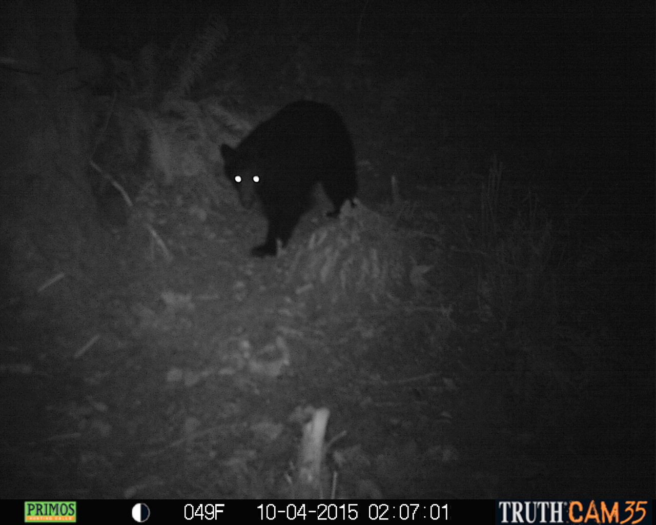
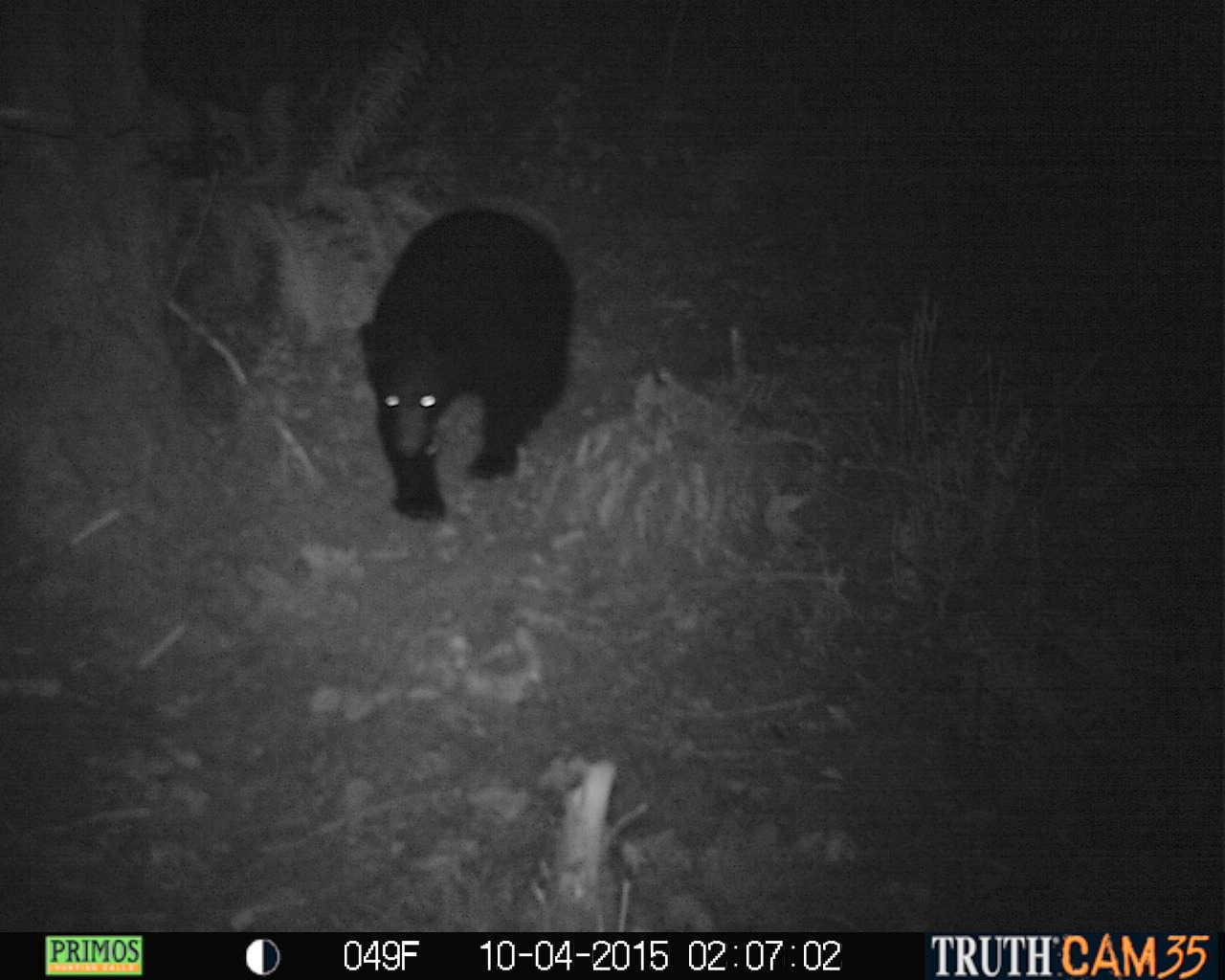
October 04, 2015 - Black Bear
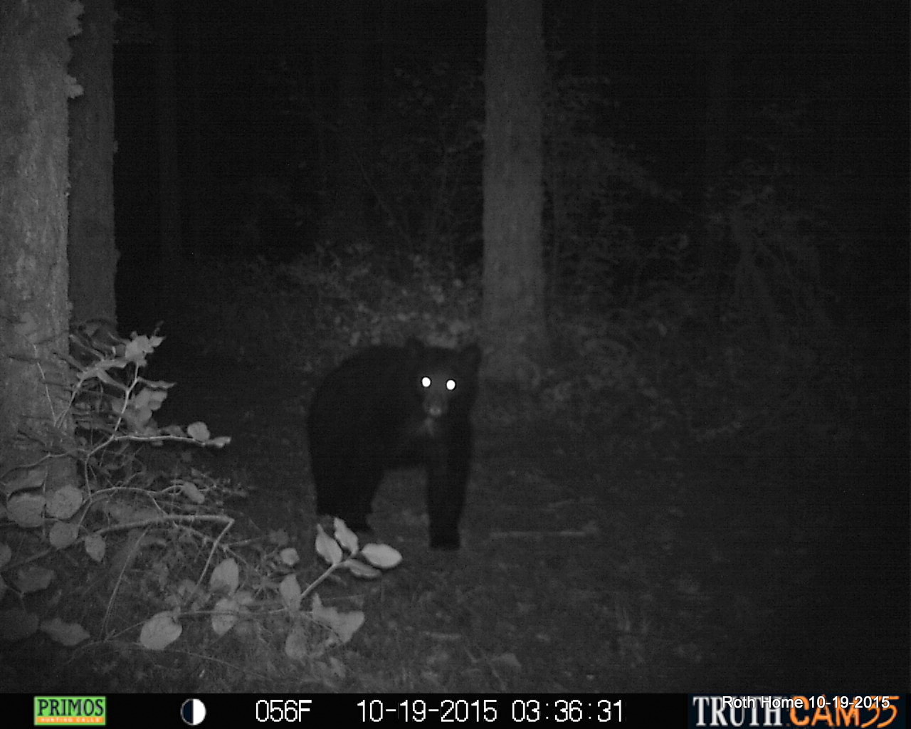
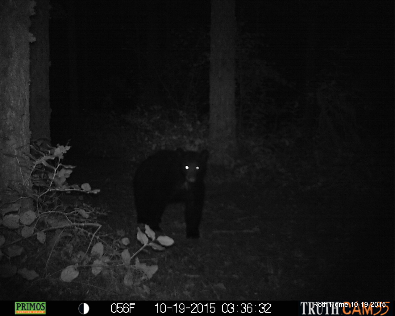
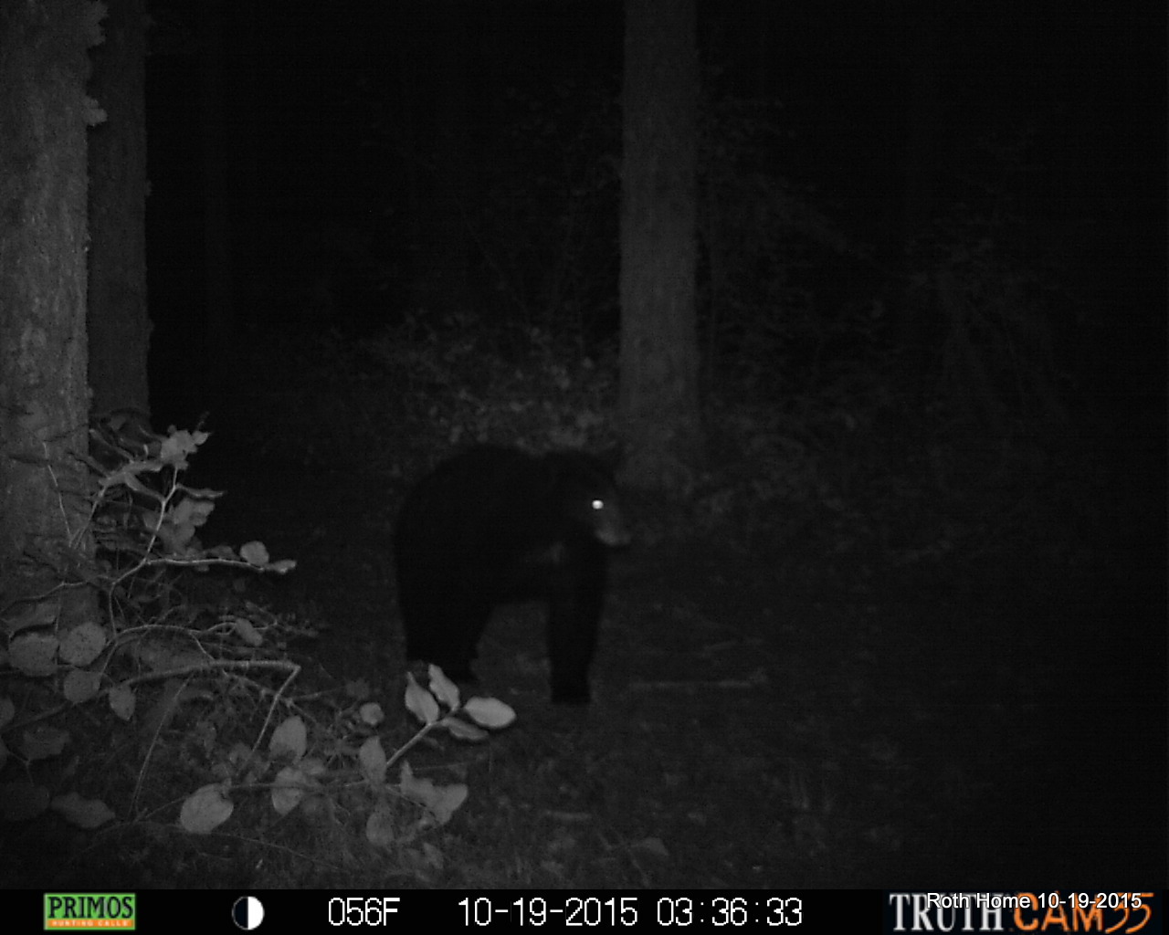
October 19, 2015 - Black Bear
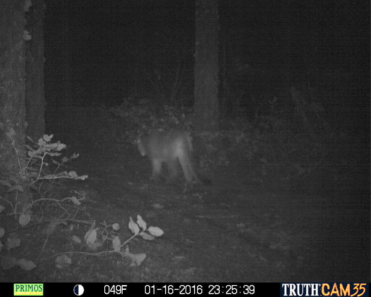
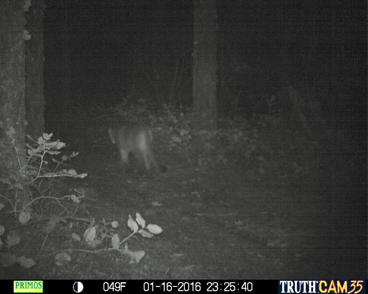
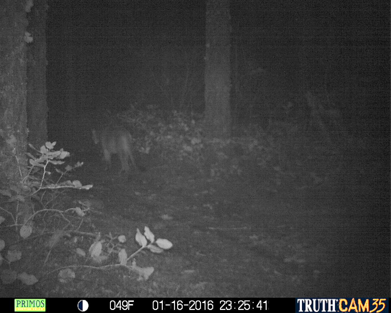
January 16, 2016 - Cougar
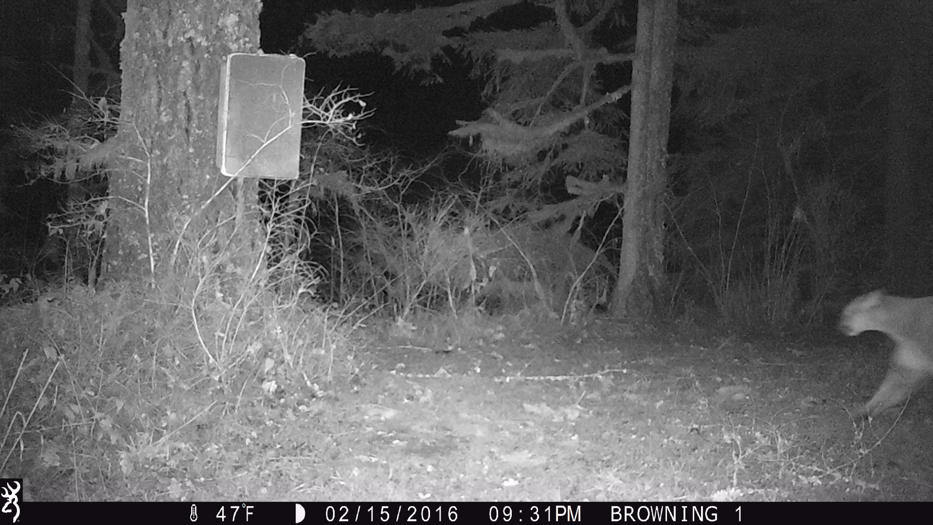
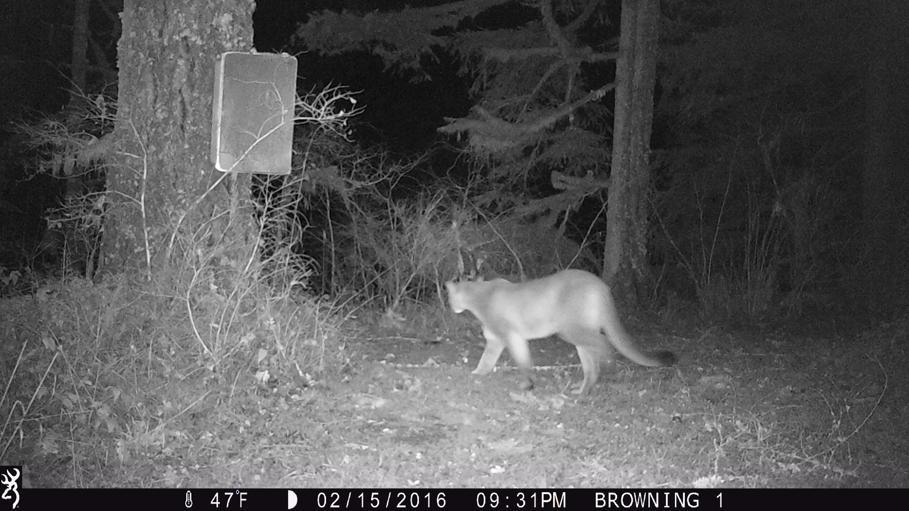
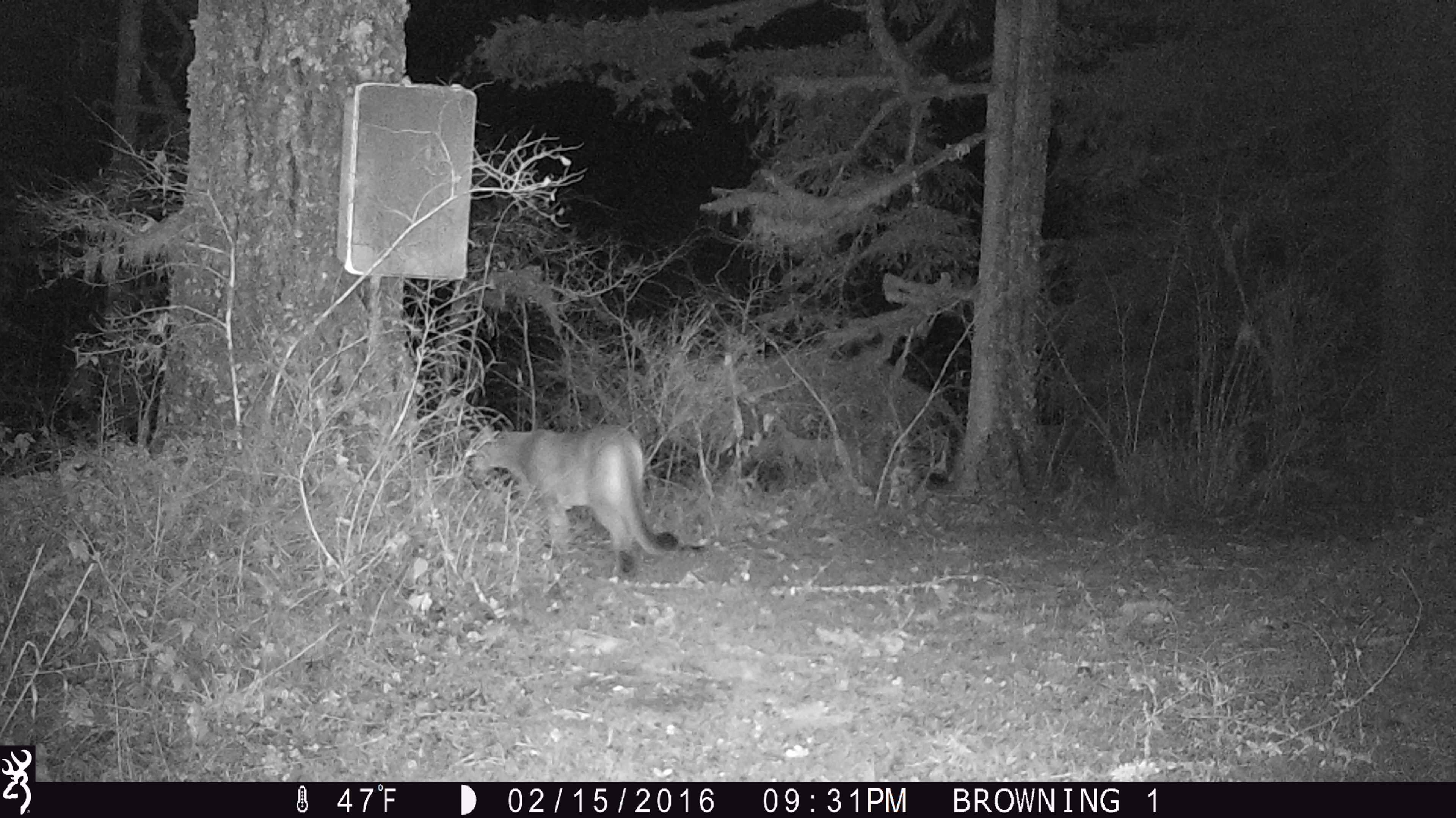
February 15, 2016 - Cougar
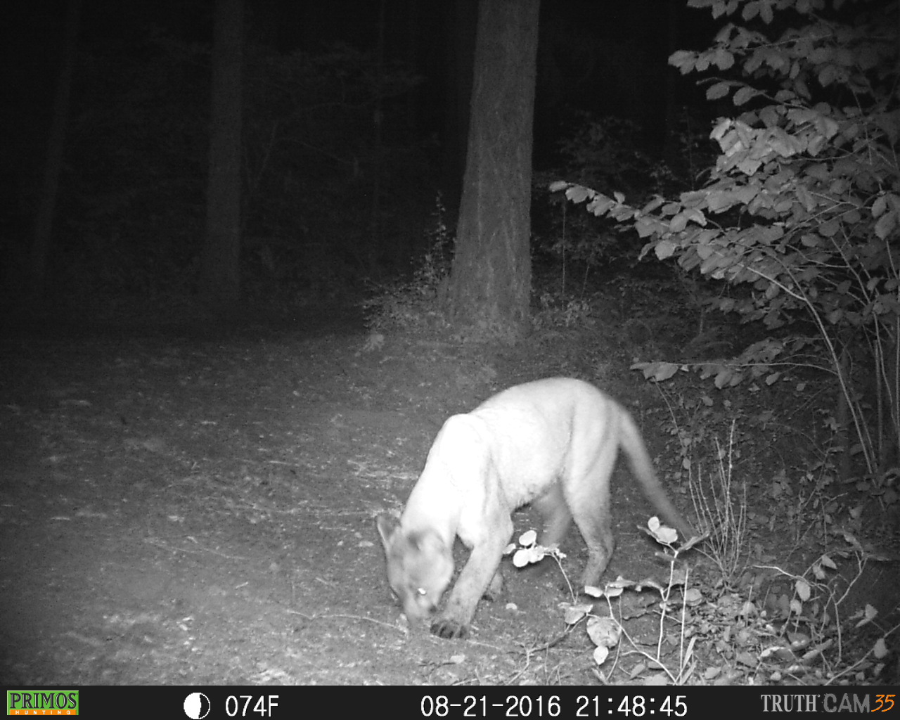
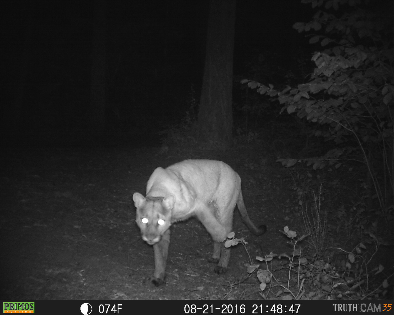
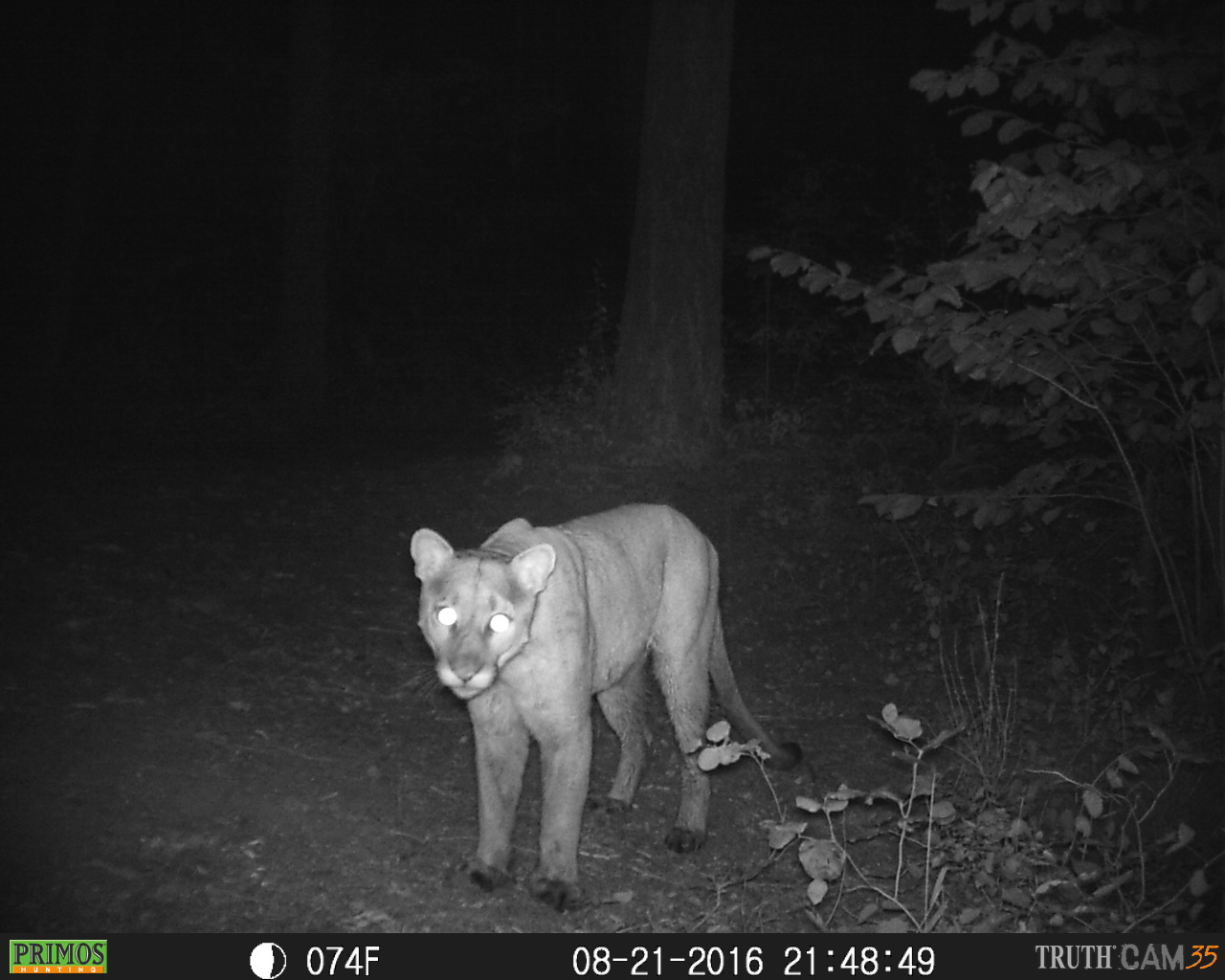
August 21, 2016 - Cougar
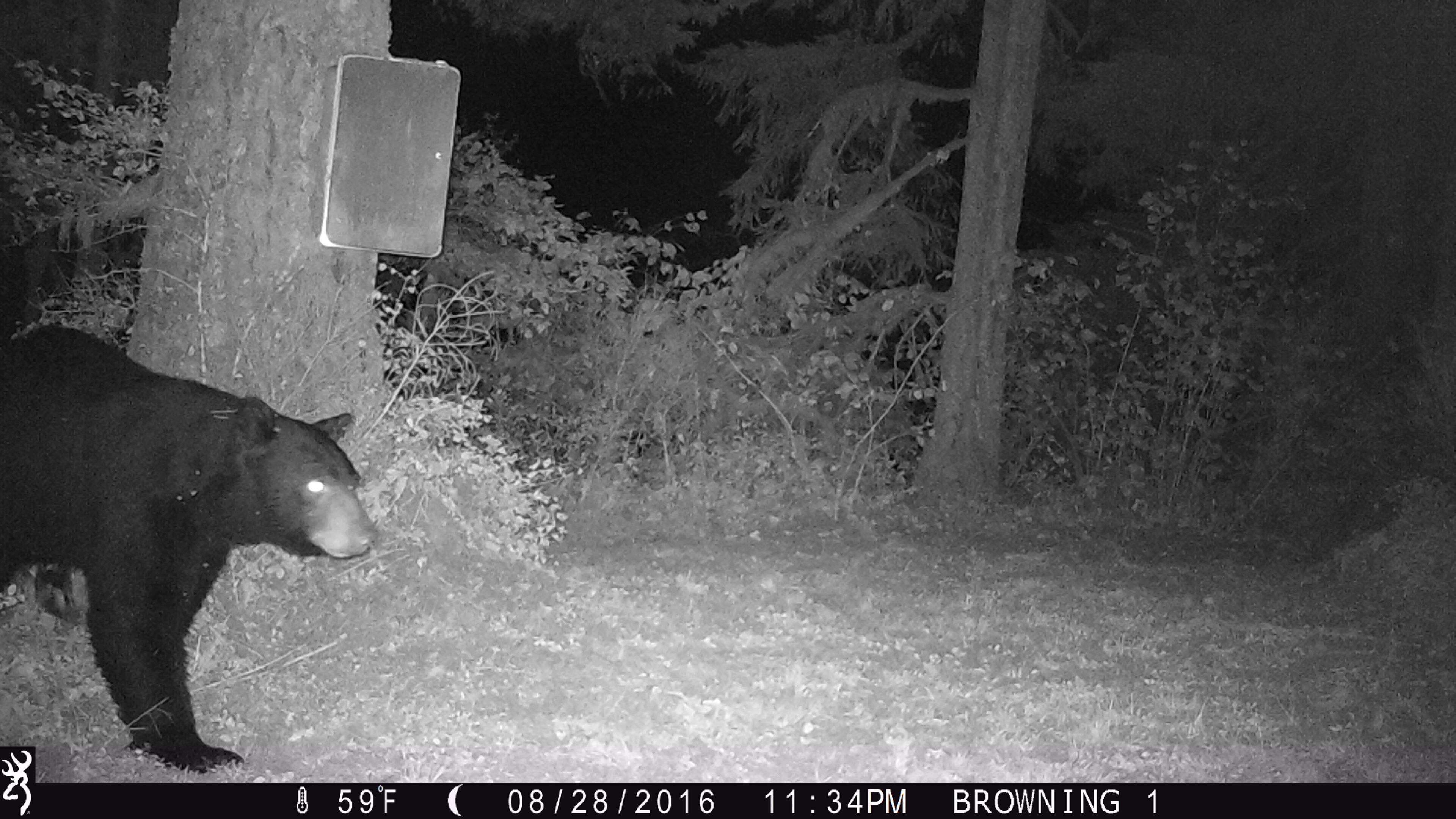
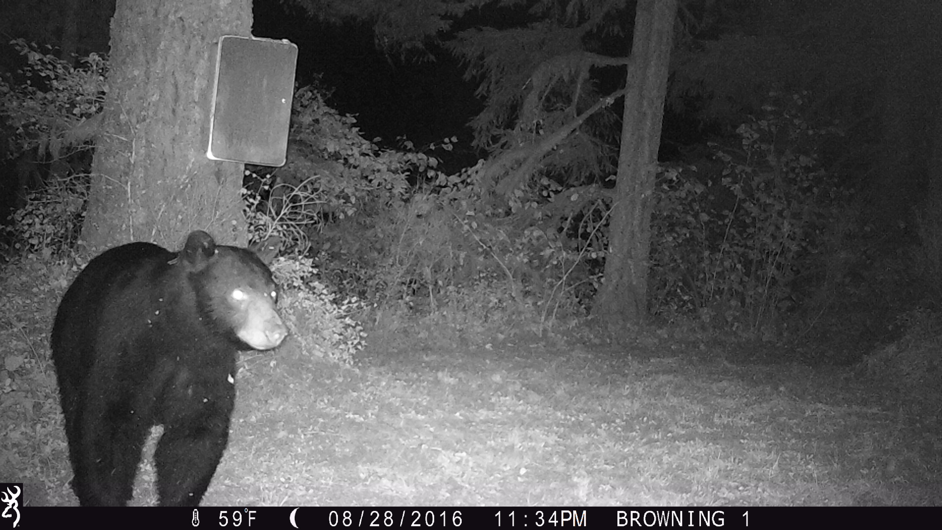
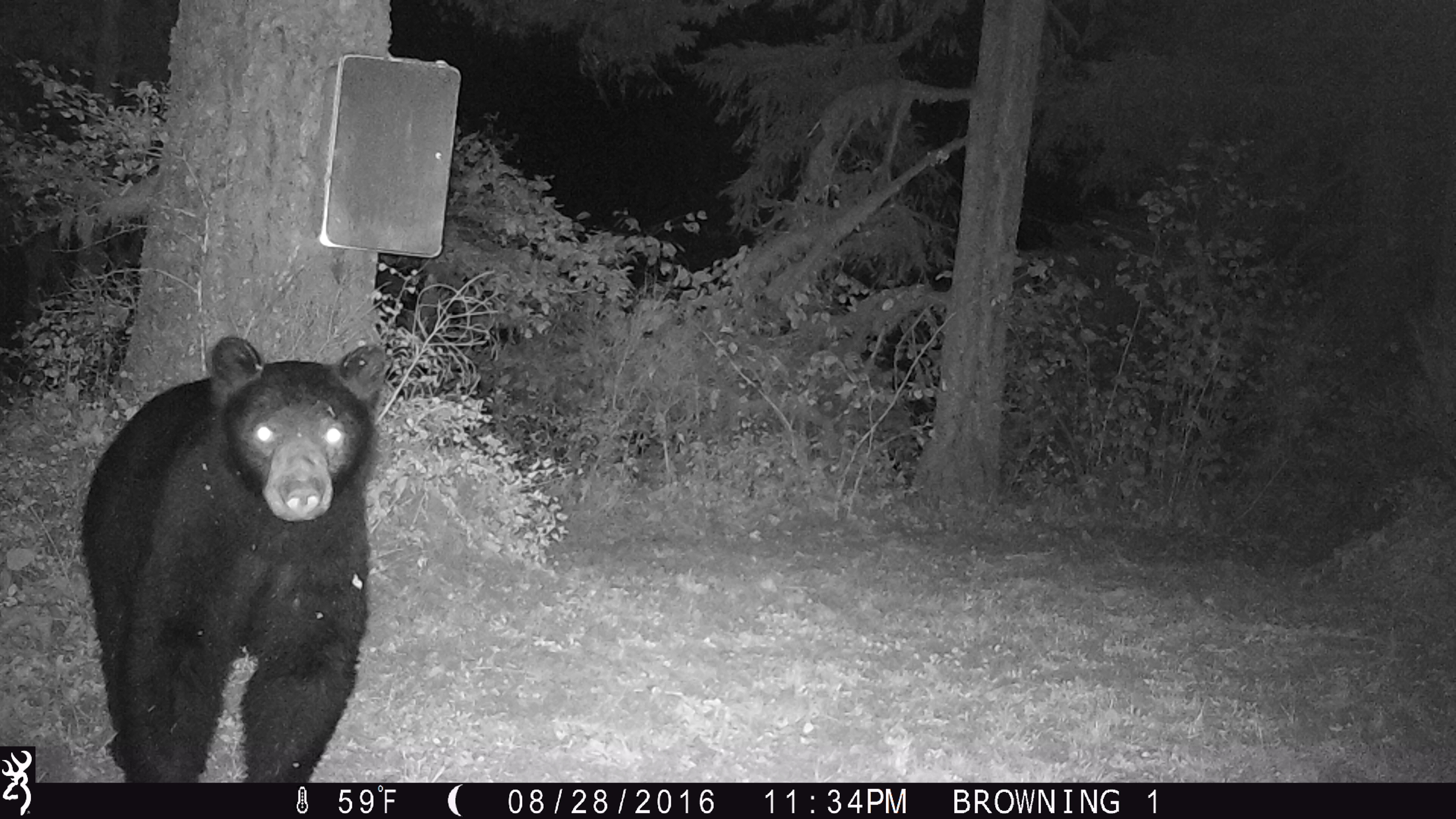
August 28, 2016 - Black Bear
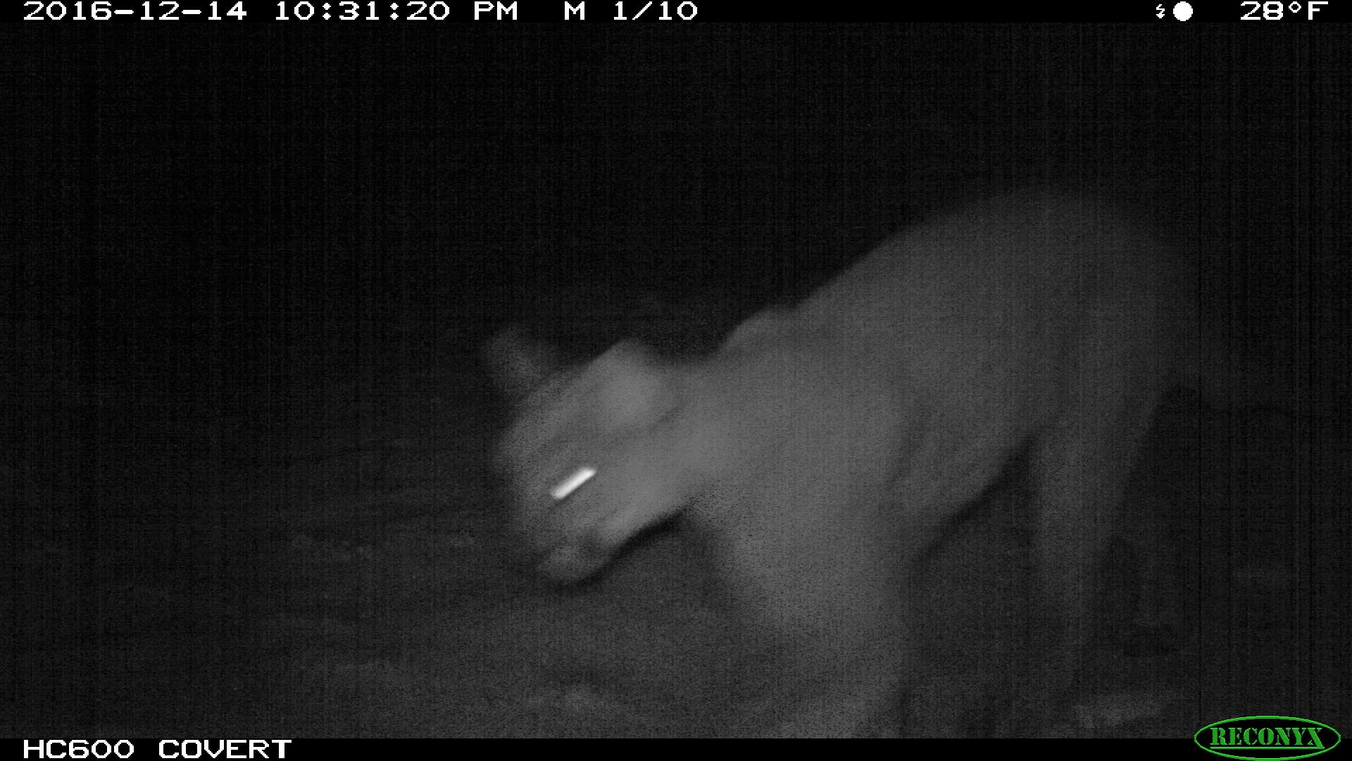
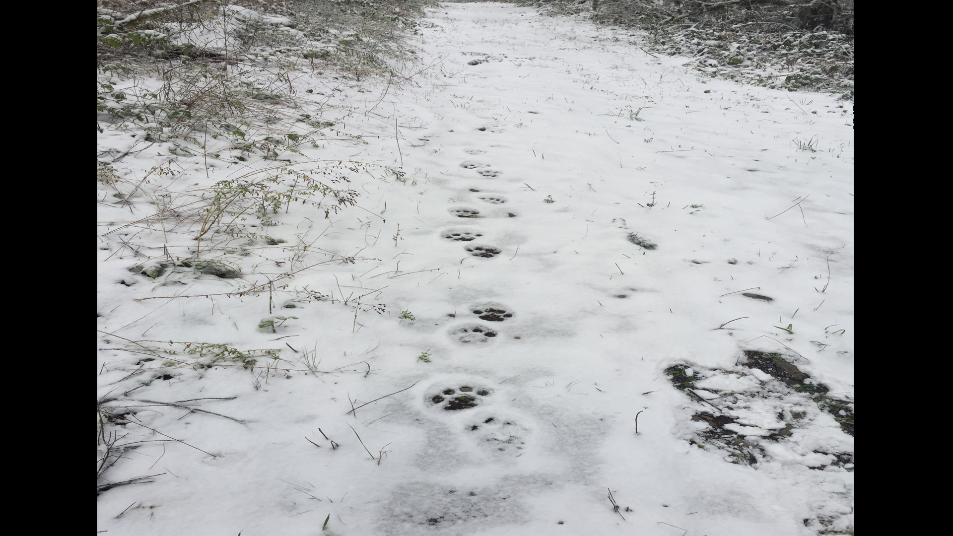
December 14, 2016 - Cougar
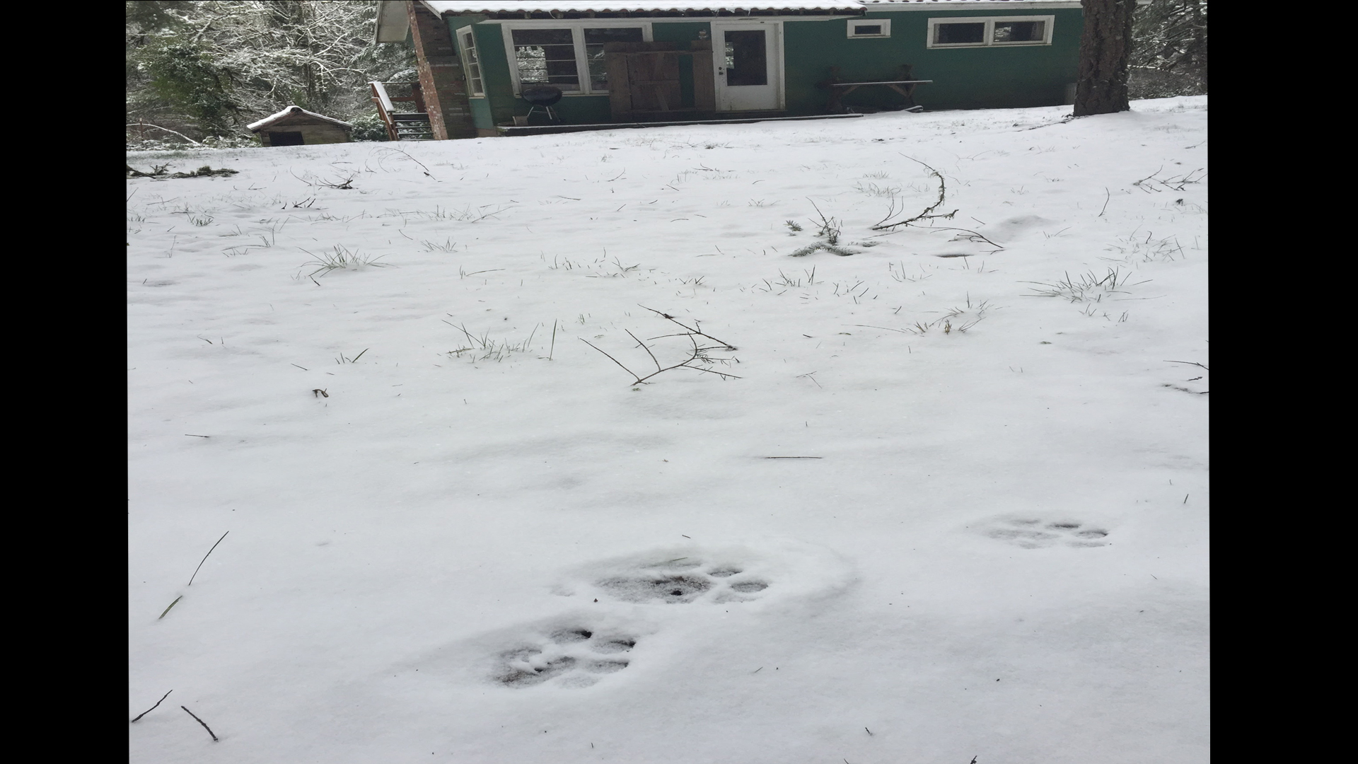
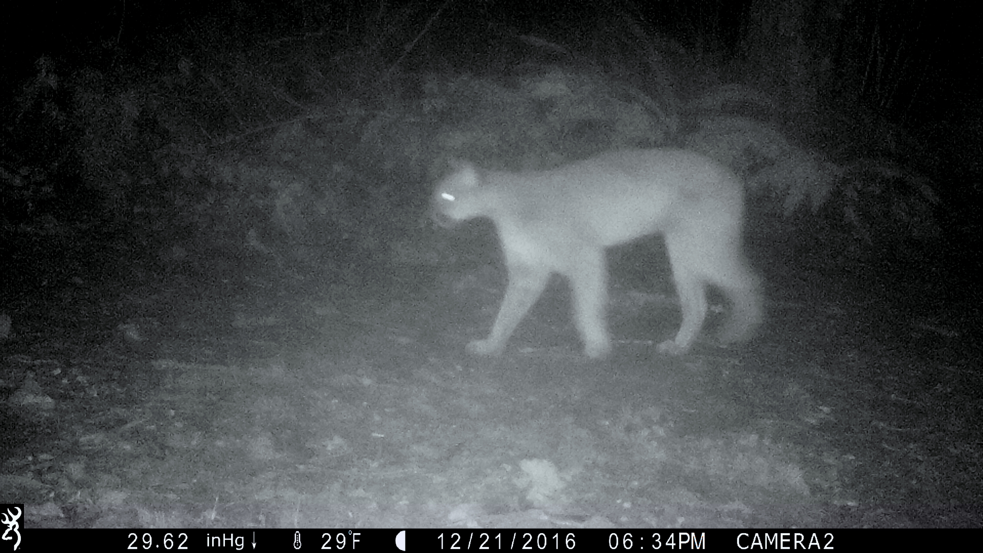
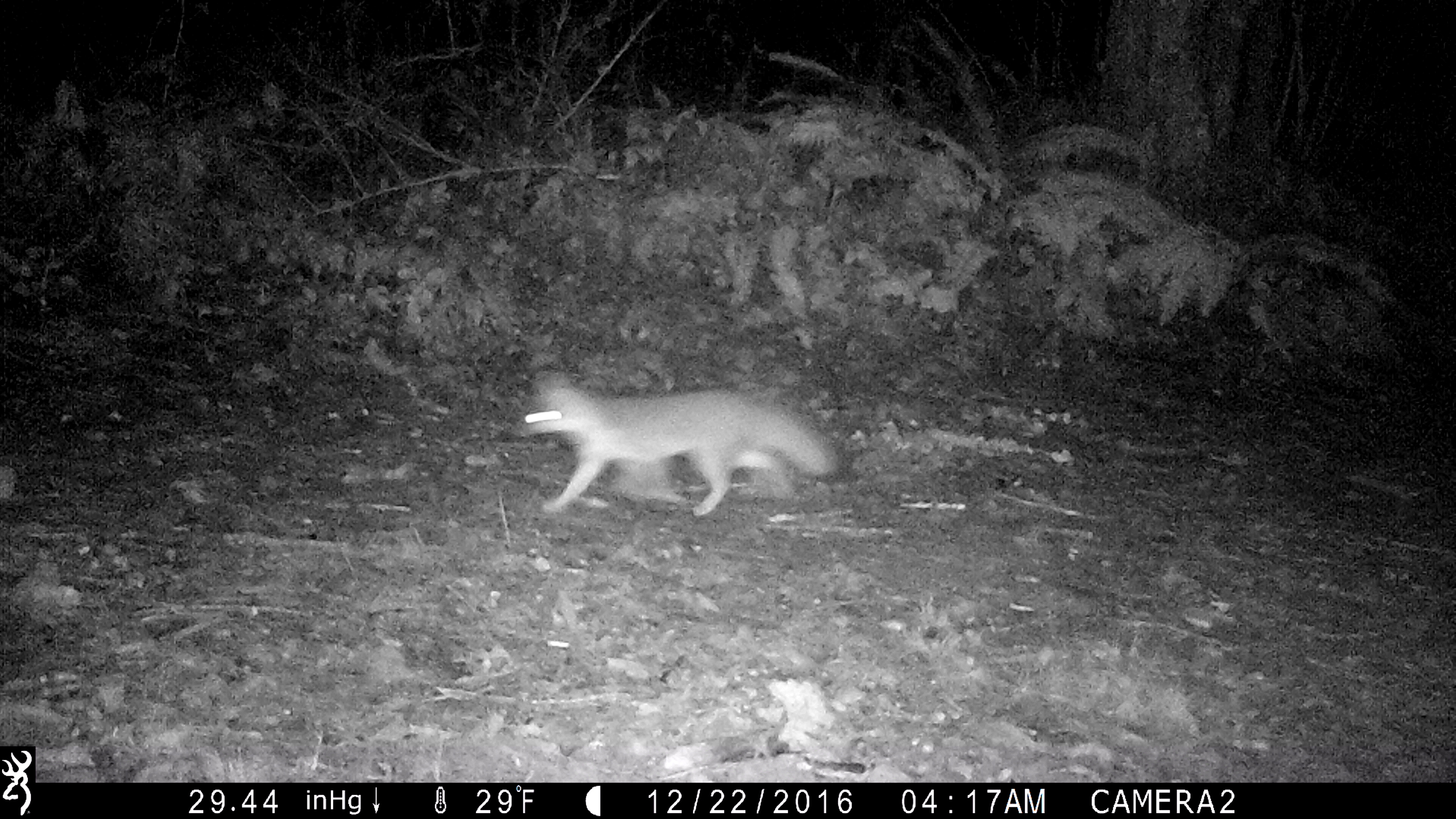
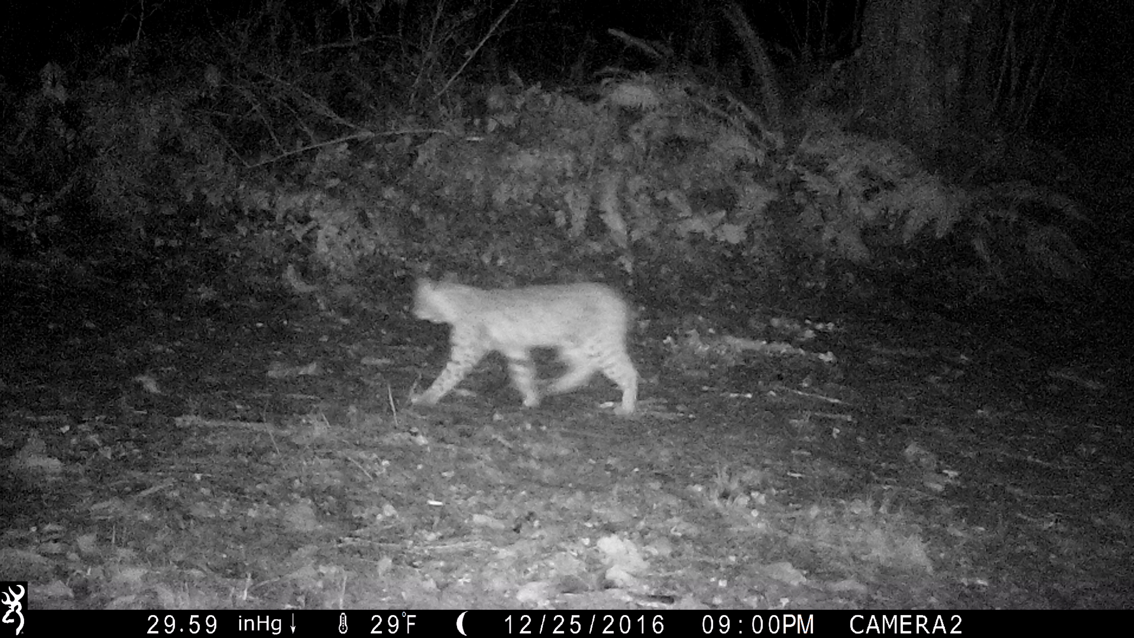
December (21,22,25), 2016 - Cougar - Grey Fox - Bobcat
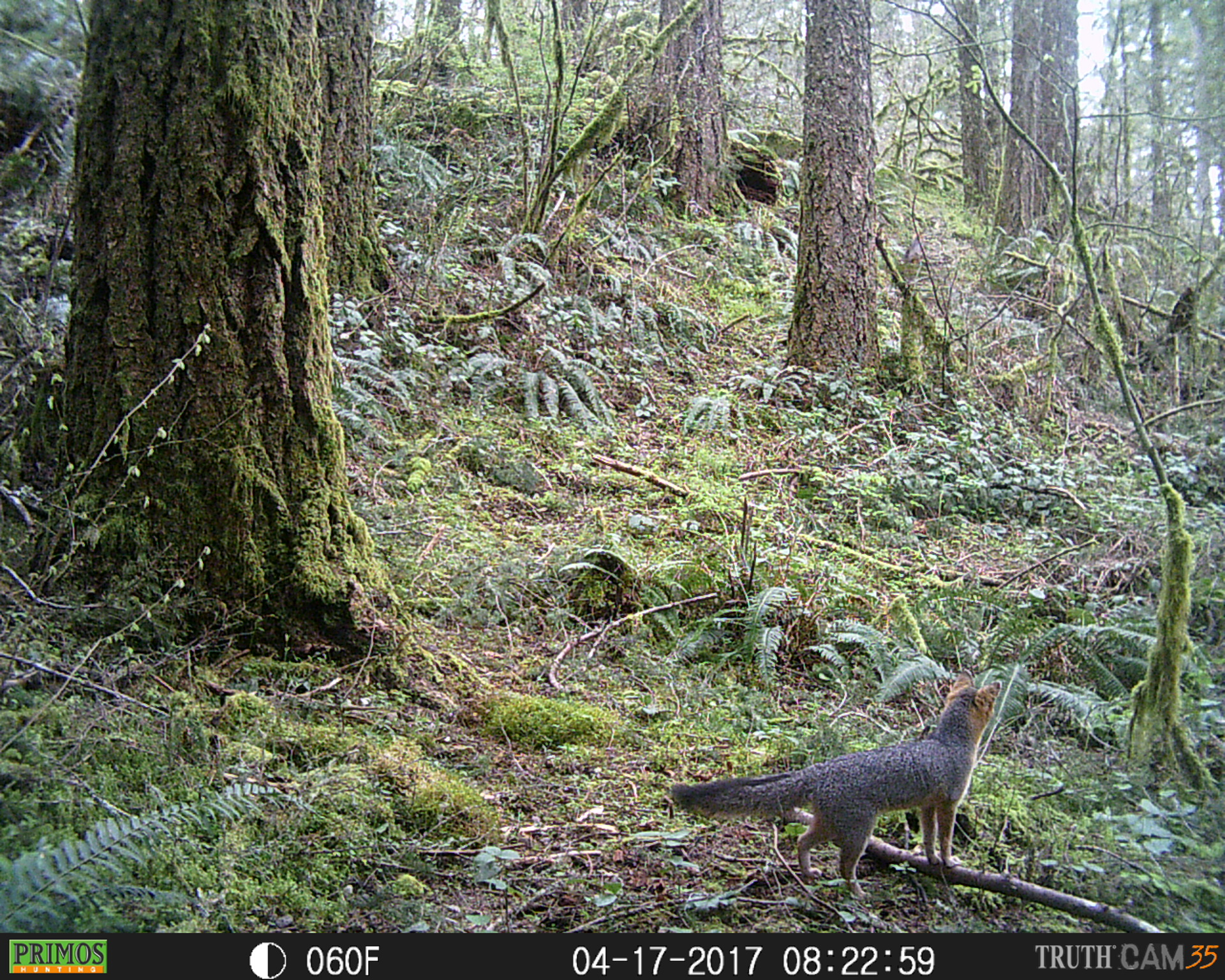
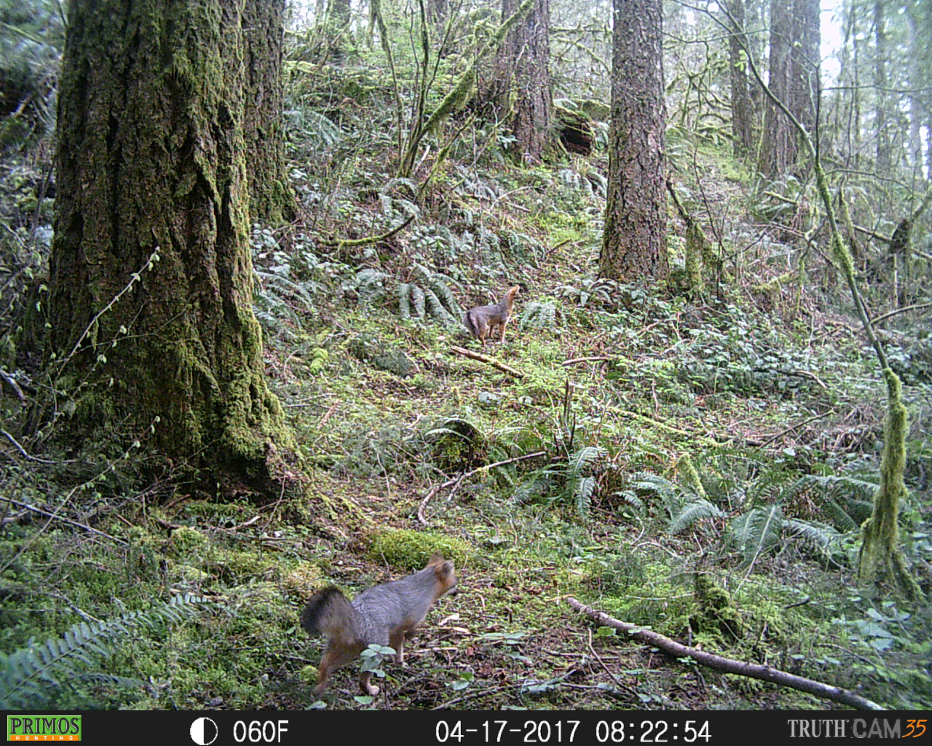
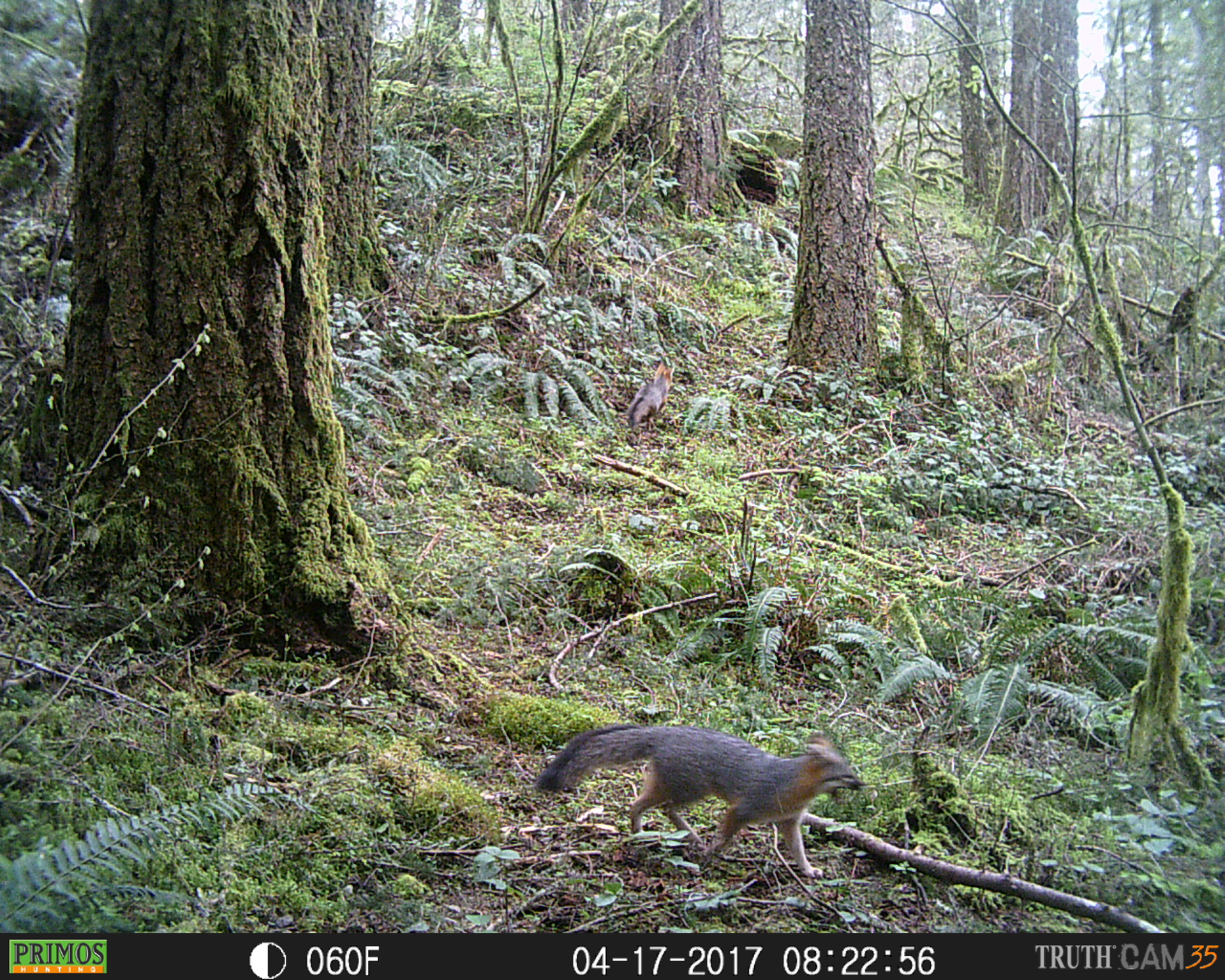
April 17, 2017 - Grey Foxes
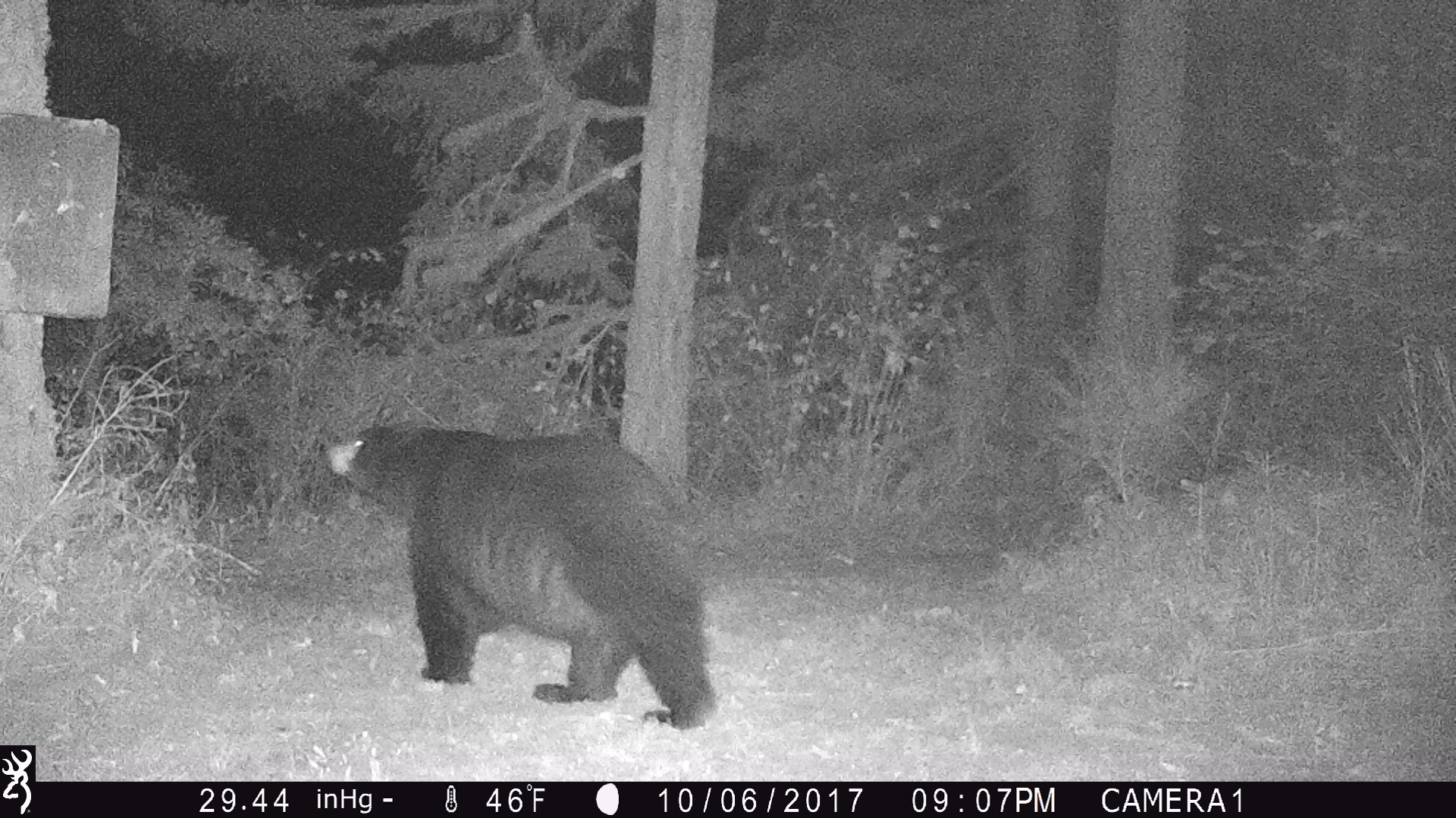
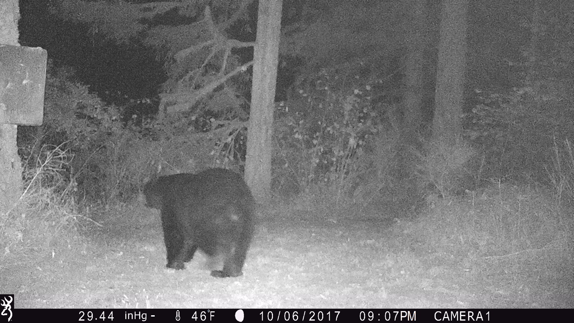
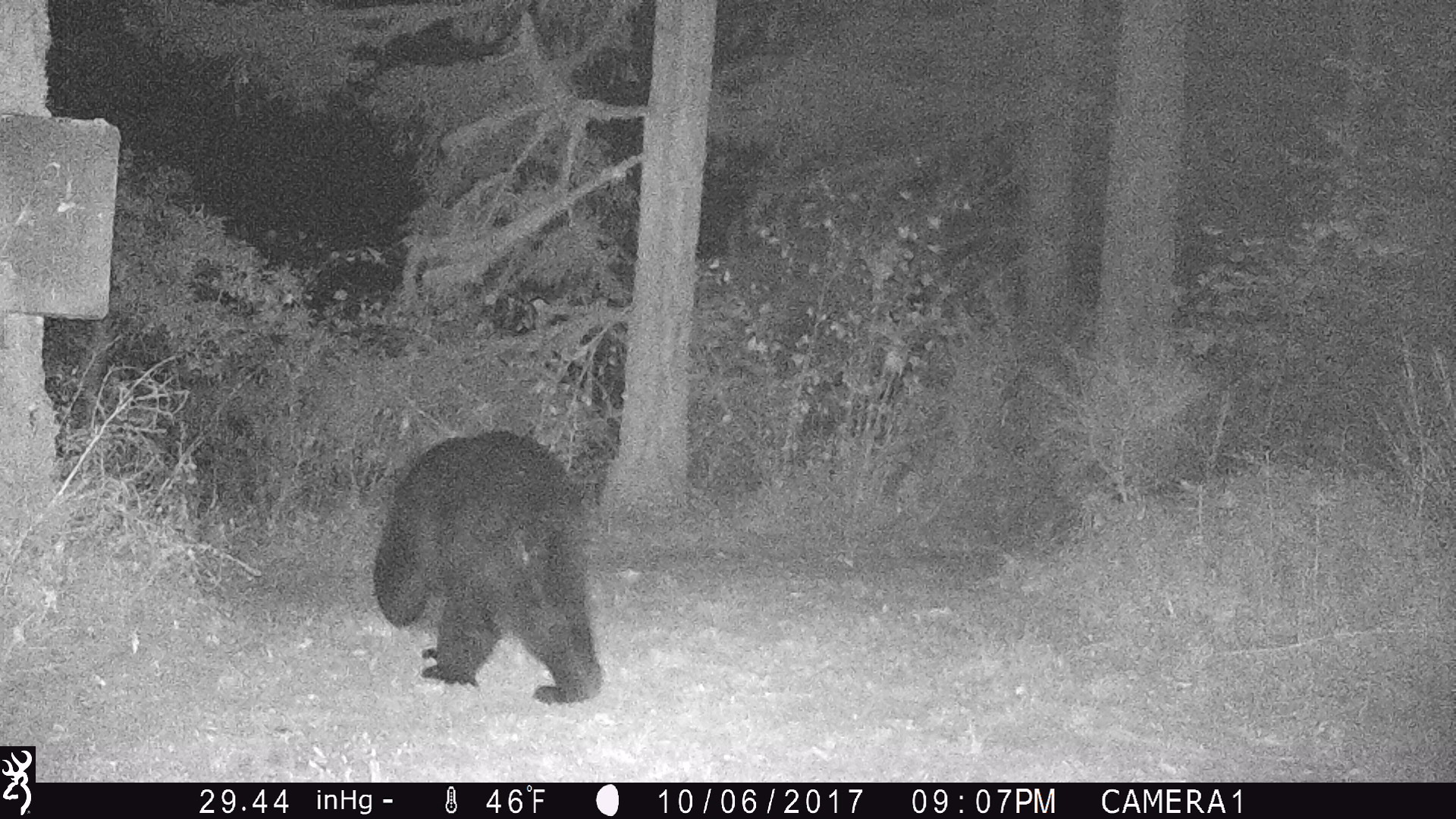
October 06, 2017 - Black Bear
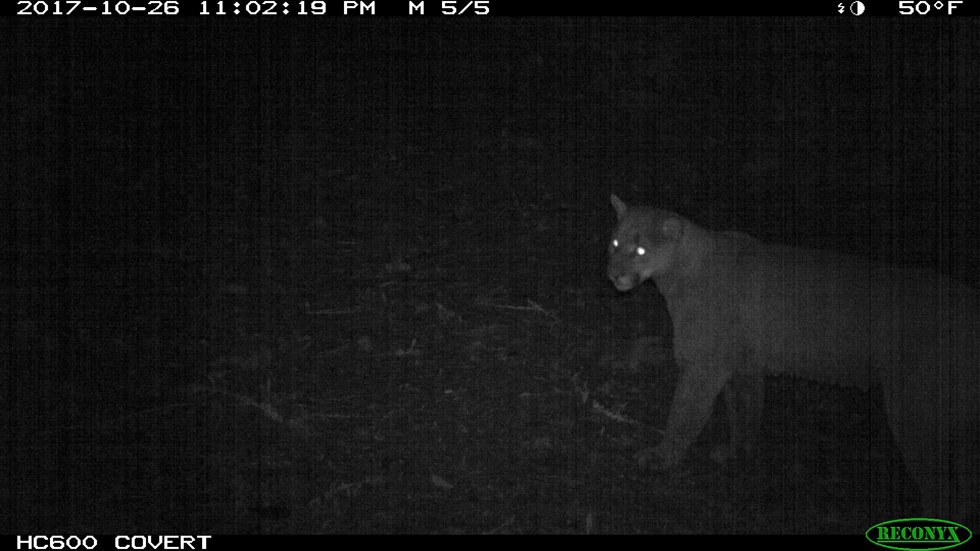
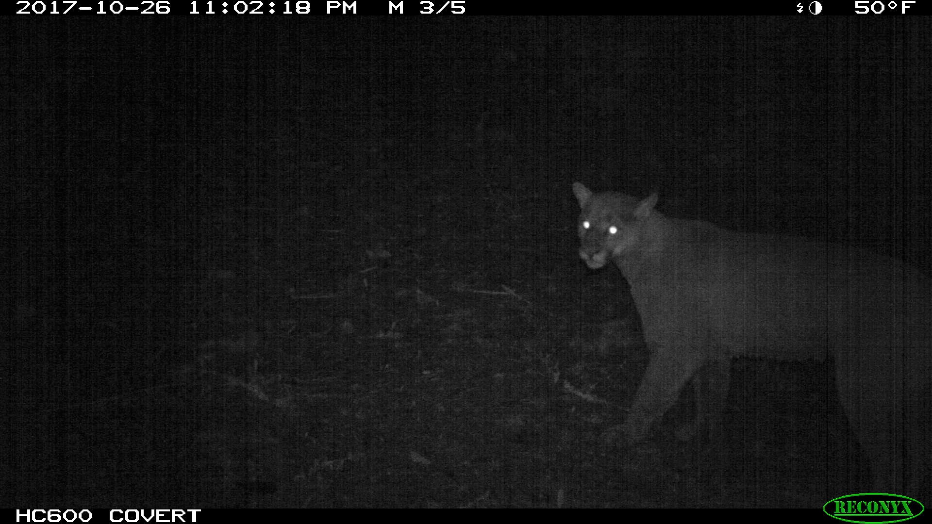
October 27, 2017 - Cougar

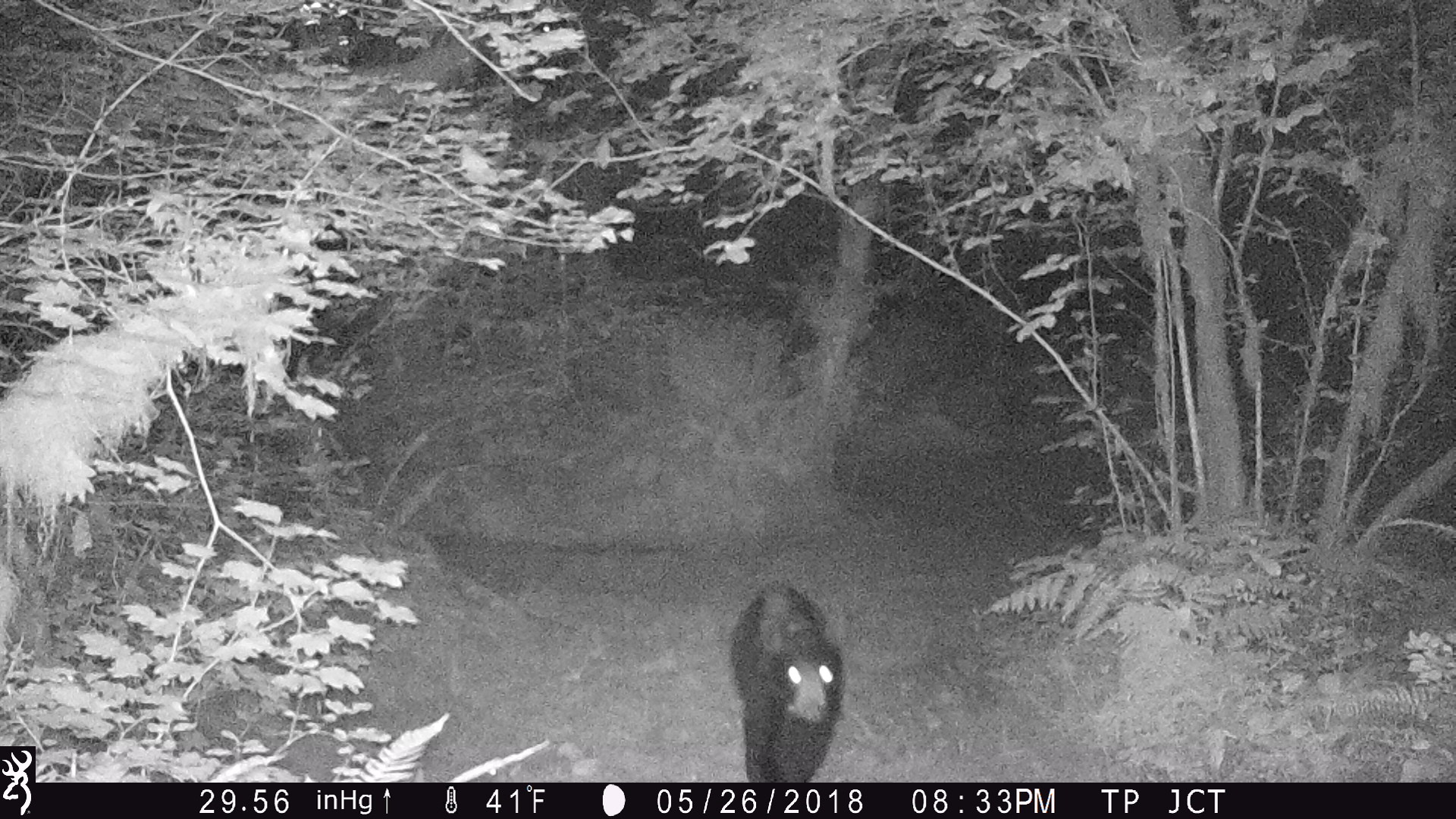
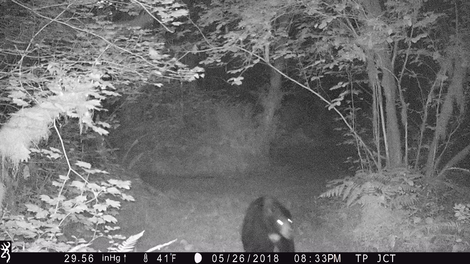
May 26, 2018 - Black Bear

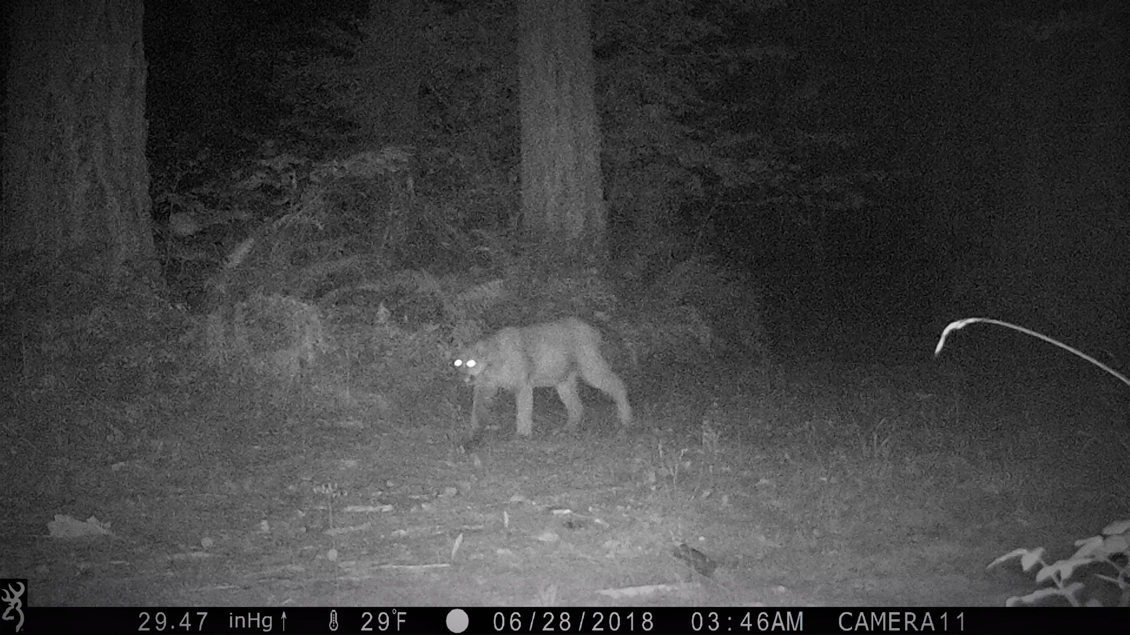
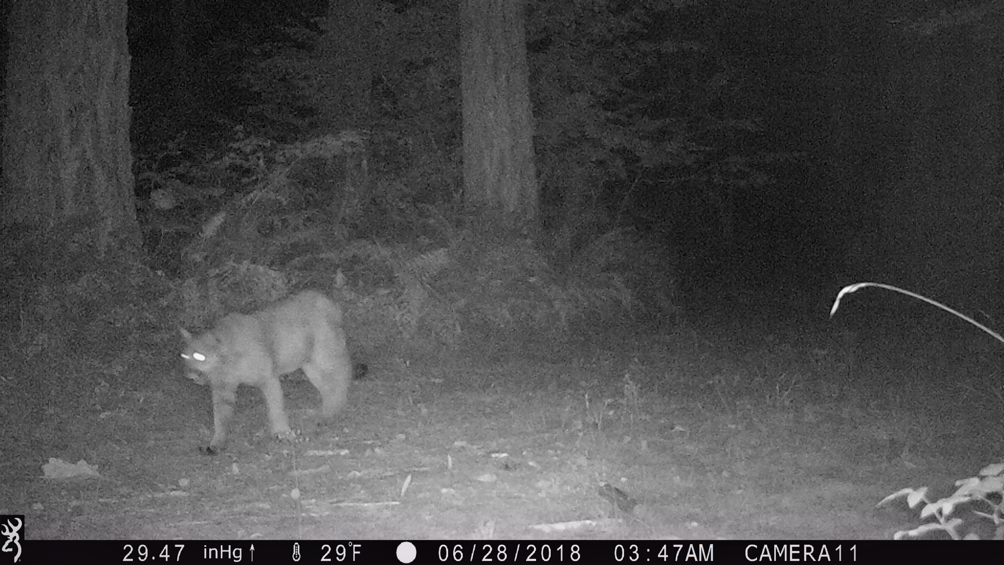
June 28, 2018 - Cougar
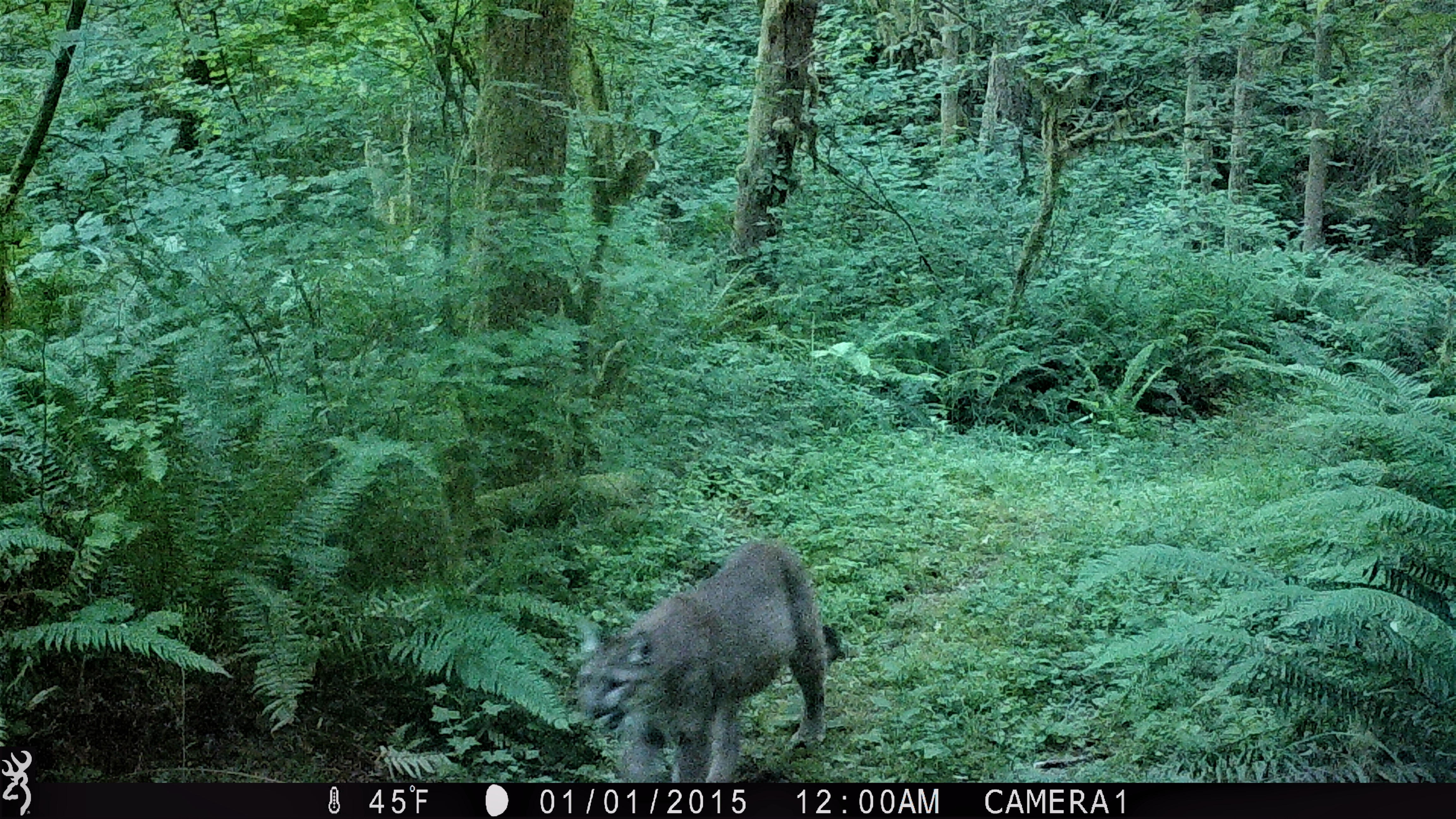
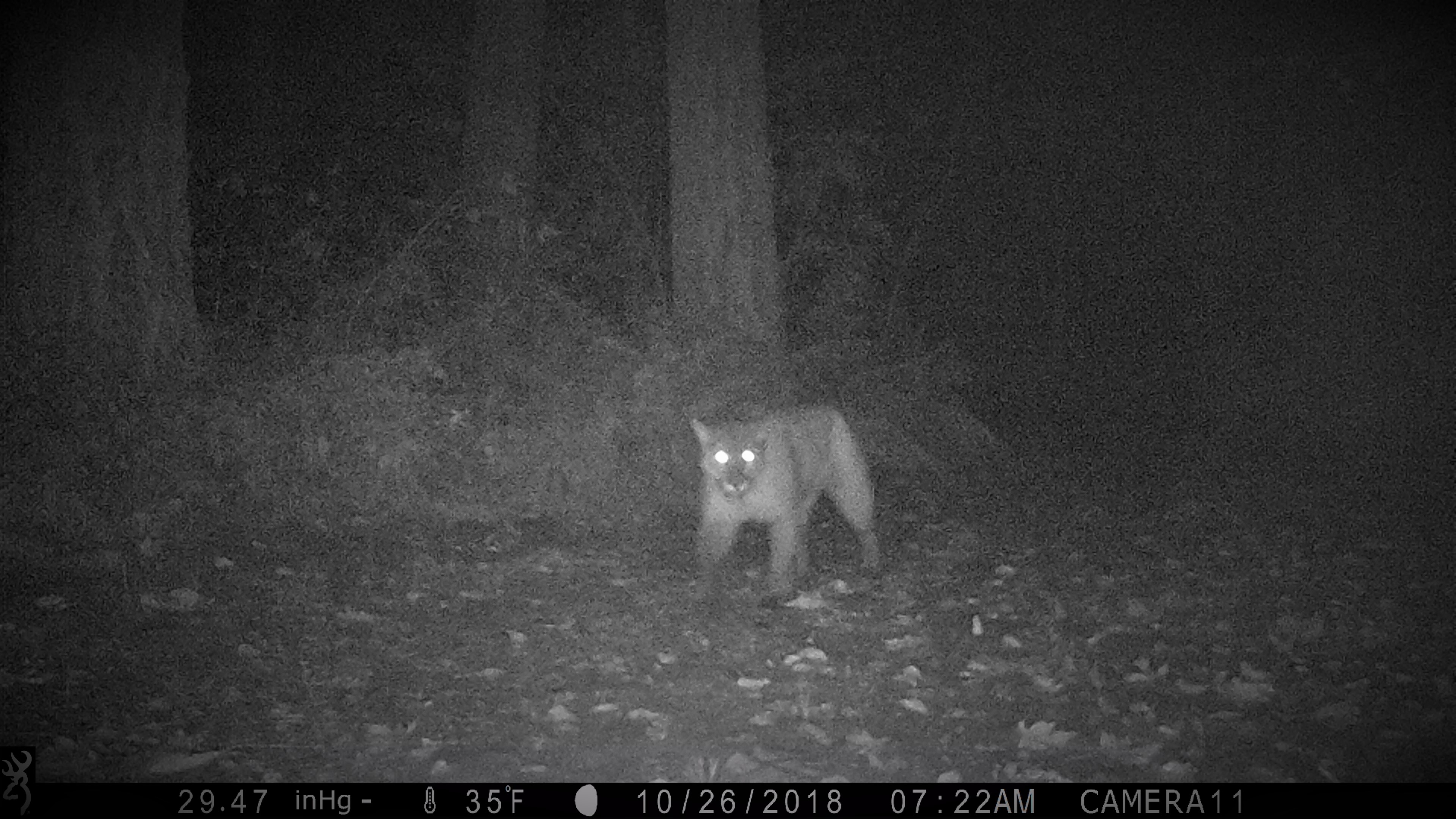
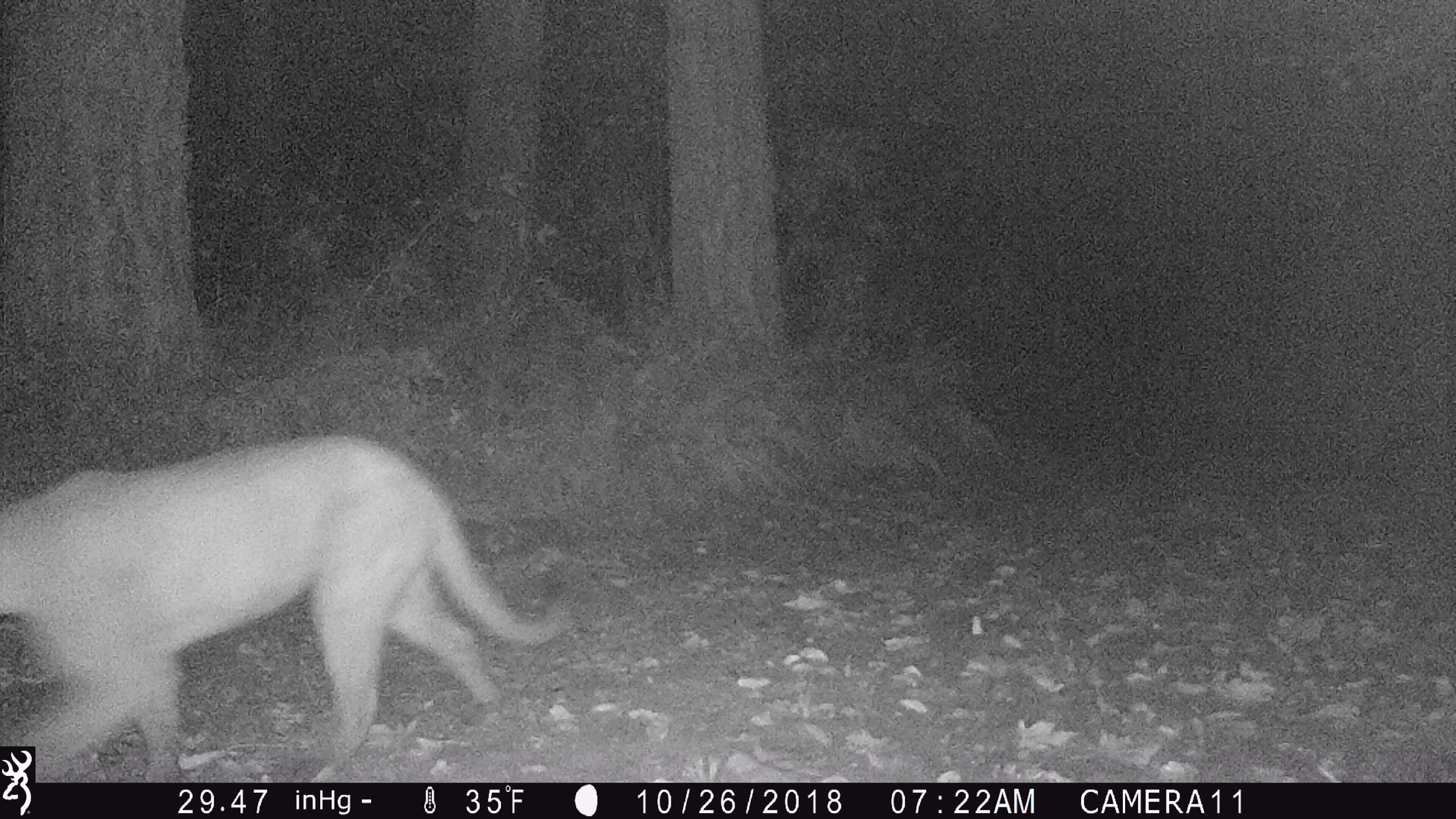
October 26, 2018 - Cougar
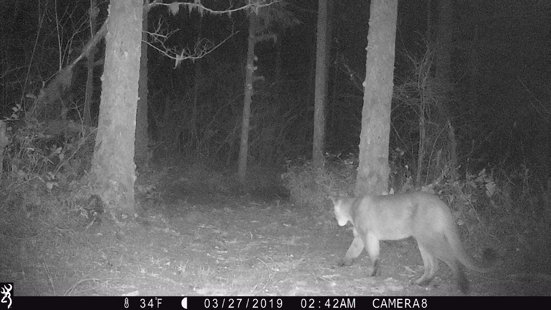
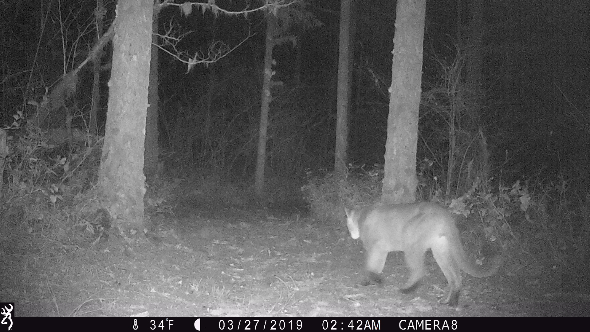
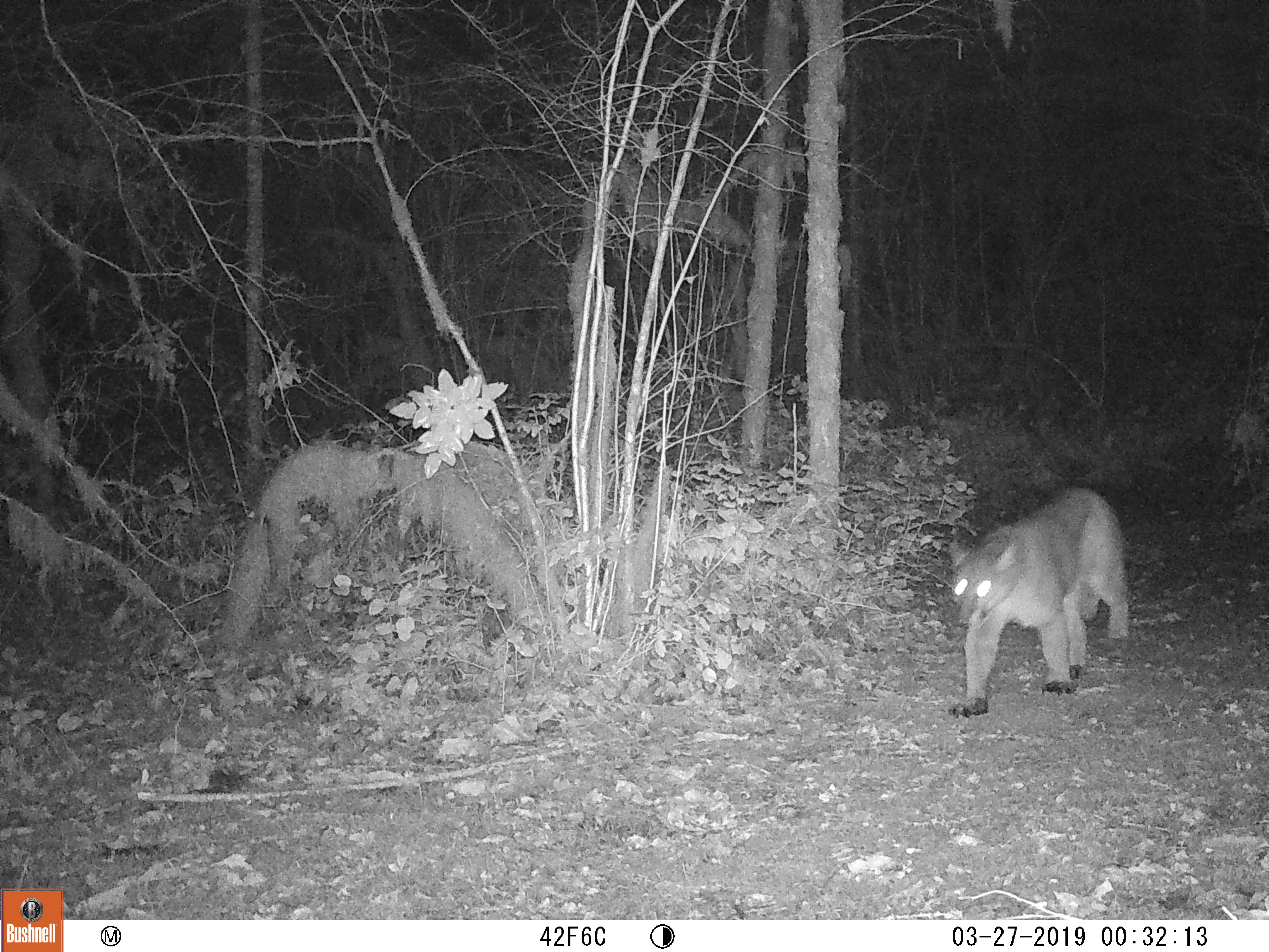
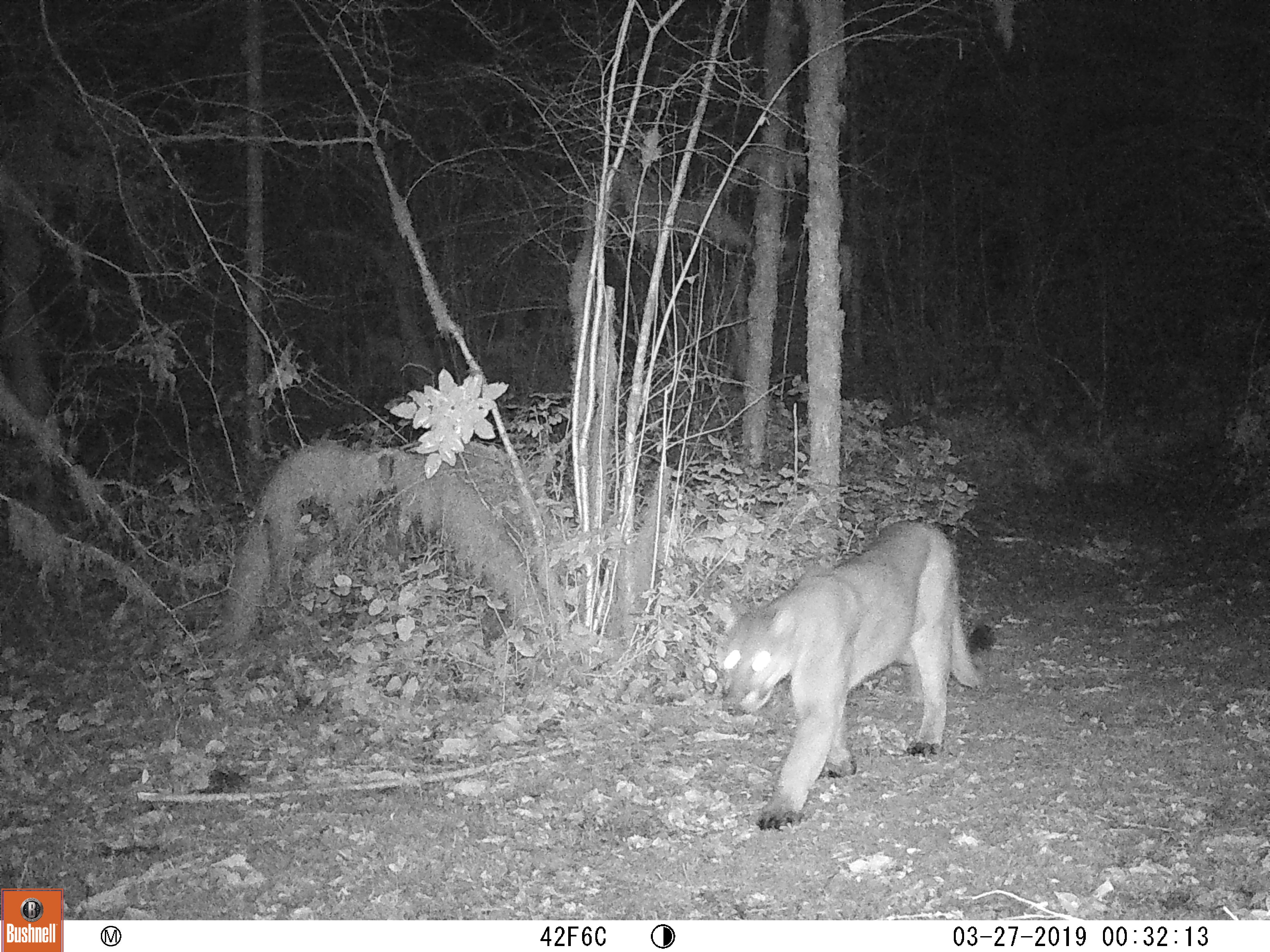
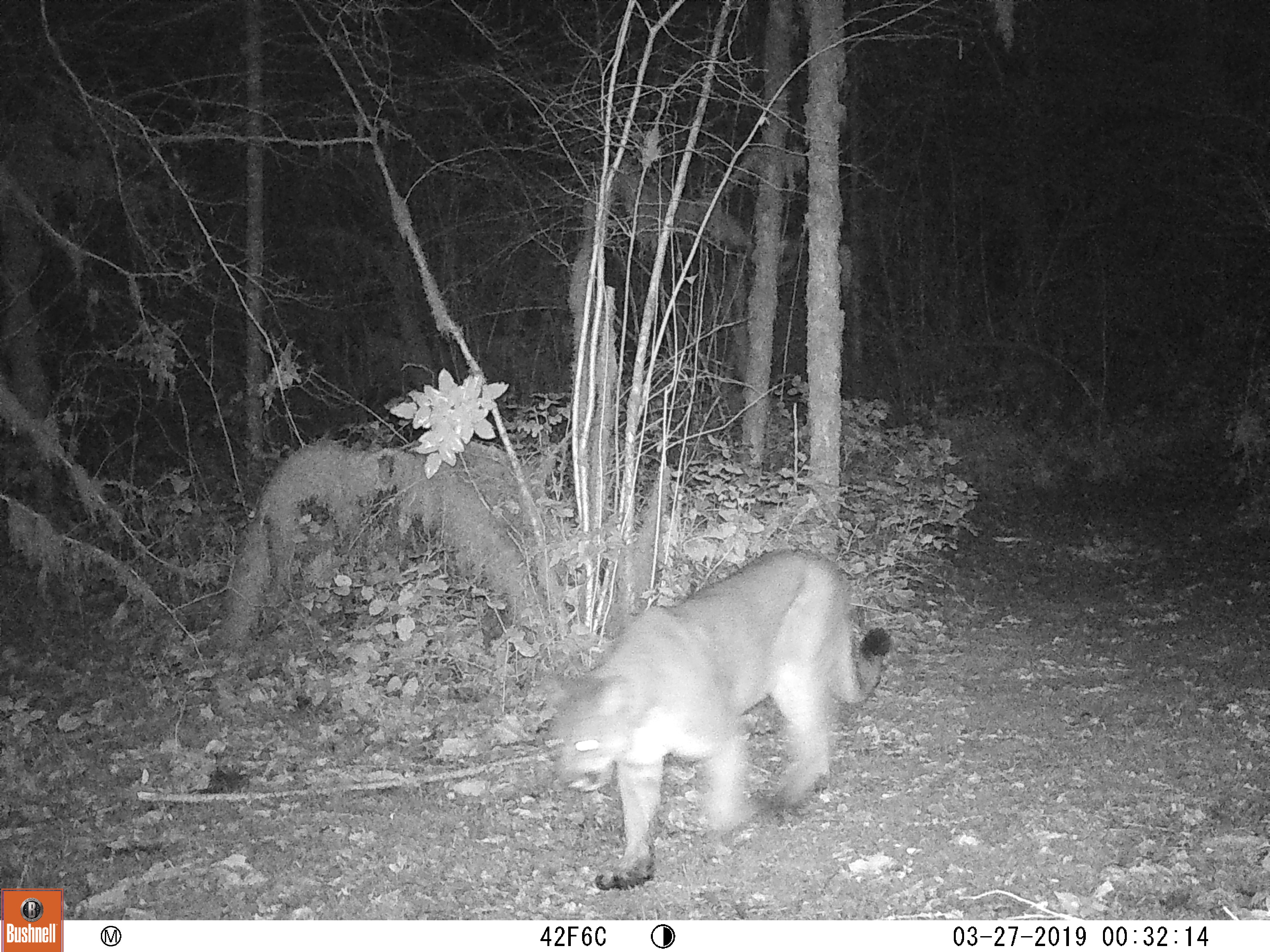
March 27, 2019 - Cougar
Suggestions or Comments? Send e-mail here.
Miscellaneous Links

The Star Cinema in Stayton - What's Playing?
Content other than weather data revised on 02-21-2026 by AJR
The data is logged at two minute intervals, but there is data recorded every minute. Best viewed in 800 x 600 and True color.
Use the RELOAD facility on your browser to retrieve the latest data.